Catalog Archive
Auction 155, Lot 435

"A Mapp of the Parishes of St. Clements Danes, St. Mary Savoy; with the Rolls Liberty and Lincolns Inn, Taken from the Last Survey with Corrections and Additions", Stow, John

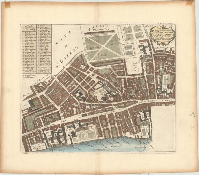
Subject: London, England

Period: 1720 (published)

Publication: A Survey of the Cities of London and Westminster…

Color: Hand Color

Size:
13.9 x 11.6 inches
35.3 x 29.5 cm
Download High Resolution Image
(or just click on image to launch the Zoom viewer)

Detailed town plan with a key table at left, featuring Drury Lane, The Strand, The Savoy, Somerset House, Lincoln's Inn Fields, and the Rolls (the Royal Courts of Justice). The plans for this reissue of John Stow's Survey of London, updated by John Strype, were probably originally engraved by Richard Blome just before his death in 1705. However, the edition took until 1720 to achieve publication and the plans required revision due to the city's rapid growth. Blome was credited in the preface but his name was erased from the plates.

References: Shirley (BL Atlases) T.STRY-1a #33.

Condition: A

Excellent impression and color with wide margins and moderate toning along the edges of the sheet, far from image.

Estimate: $200 - $230

Sold for: $100

Closed on 11/18/2015

Archived