Catalog Archive
Auction 155, Lot 405

"Bowles's New Pocket-Map of the Atlantic or Western Ocean, Laid Down from the Latest Discoveries, and Regulated by Numerous Astronomical Observations", Bowles, Carrington

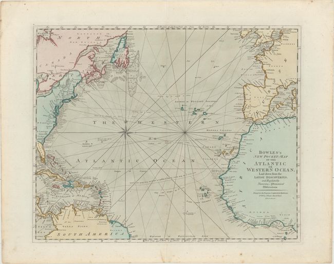
Subject: North Atlantic

Period: 1780 (circa)

Publication:

Color: Hand Color

Size:
21.8 x 17.7 inches
55.4 x 45 cm
Download High Resolution Image
(or just click on image to launch the Zoom viewer)

This is an uncommon map of the Atlantic Ocean, showing the trade routes from Europe to the various European colonies, including Virginia and the Carolinas, the Cadiz Galleon Routes, and tracks to the West Indies. There are plenty of place names along the Atlantic Seaboard of North America, which is noted as the XIII United States. The Great Fishing Banks are noted off Newfoundland, and there is good detail of the Madera, Canary, and Cape Verde Islands, along the coast of Africa, and throughout the Caribbean.

References:

Condition: B+

In original color on a sturdy sheet of watermarked paper with minor scattered foxing, marginal soiling, and a few minute holes only visible when held up to light.

Estimate: $550 - $650

Sold for: $400

Closed on 11/18/2015

Archived