Catalog Archive
Auction 155, Lot 390

"Chili Magellans-Land, and Terra del Fuego &c.", Moll, Herman

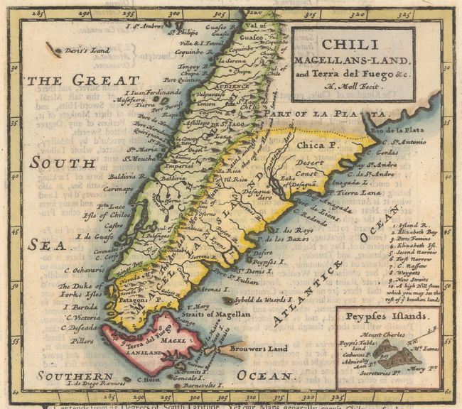
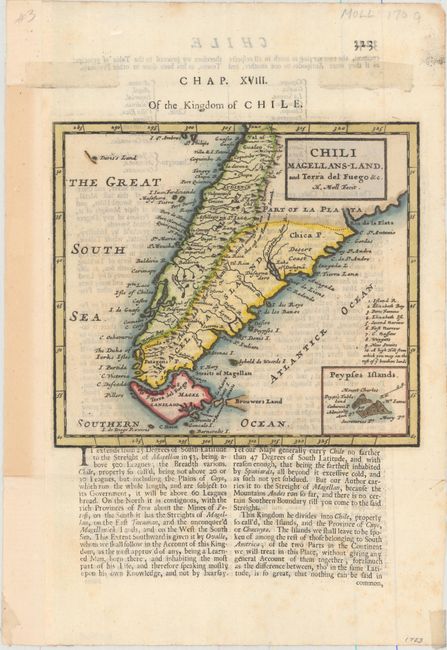
Subject: Southern South America

Period: 1701 (published)

Publication: A System of Geography...

Color: Hand Color

Size:
7.3 x 6.4 inches
18.5 x 16.3 cm
Download High Resolution Image
(or just click on image to launch the Zoom viewer)

Detailed copper engraved map of the southern tip of South America with Tierra del Fuego, Le Maire Strait, and a partial outline of the Falkland Islands. Includes an inset of the fictitious Peypses Islands and a numbered table of locations along the Strait of Magellan. Decorated with a simple block style title cartouche.

References: Shirley (BL Atlases) T.MOLL-1b #41.

Condition: A

A dark impression on watermarked paper with minor text show-through and a few faint spots in the text below the map image. The left margin has been extended to better accommodate framing.

Estimate: $220 - $250

Sold for: $190

Closed on 11/18/2015

Archived