Catalog Archive
Auction 155, Lot 39

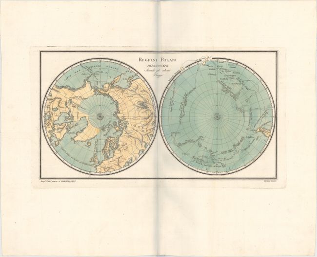
"Regioni Polari Paragonate Secondo gli Ultimi Viaggi", Barbiellini, Carlo Antonio

Subject: Polar

Period: 1807 (circa)

Publication:

Color: Hand Color

Size:
15.3 x 8.4 inches
38.9 x 21.3 cm
Download High Resolution Image
(or just click on image to launch the Zoom viewer)

This uncommon Italian map depicts the north and south poles in two hemispheres on one sheet. Only the continental outlines are delineated, shown with basic topography and a few place names. The routes of MacKenzie and Hearn are identified in North America, while Captain Cook’s tracks are prominently shown around the South Pole.

References:

Condition: A+

A strong impression on watermarked paper with wide margins. There is a bluish shadow along the centerfold which is caused by the scanning process, and does not appear on the map.

Estimate: $200 - $230

Sold for: $150

Closed on 11/18/2015

Archived