Catalog Archive
Auction 155, Lot 122

"Partie Orientale du Canada, avec la Nouvelle Angleterre, l'Acadie, et la Terre-Neuve...", D'Anville/Santini

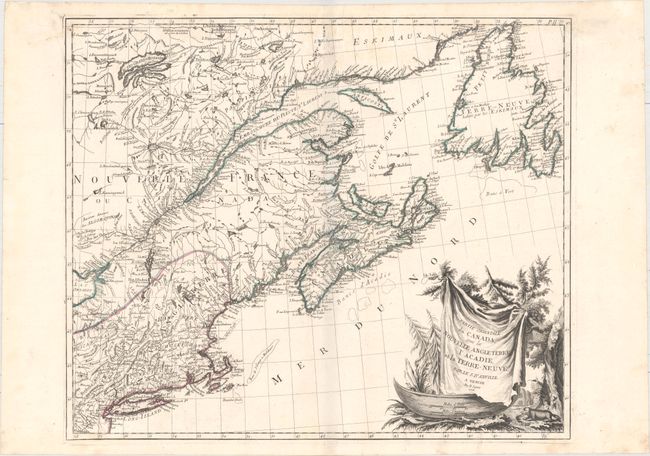
Subject: Colonial Northeastern United States & Canada

Period: 1776 (dated)

Publication: Atlas Universel...

Color: Hand Color

Size:
22.9 x 19.3 inches
58.2 x 49 cm
Download High Resolution Image
(or just click on image to launch the Zoom viewer)

This is the first state of this large, attractive map that covers New England, the St. Laurence River, Nova Scotia, and Newfoundland. It presents good detail of boundaries, towns and cities, harbors, bays, rivers and lakes, Indian tribal territory, and fishing grounds. Though crediting D'Anville, the map is also partially based on the cartography of Bellin and Robert de Vaugondy. The large cartouche, featuring a ferocious-looking beaver, is copied from Robert de Vaugondy's 1755 map of Canada and the Great Lakes.

References: Kershaw #714; McCorkle #776.4; Phillips (A) #647-47; Sellers & Van Ee #138.

Condition: A

A dark impression on watermarked paper. An overall clean and bright example with just a few small, unobtrusive stains.

Estimate: $750 - $900

Sold for: $275

Closed on 11/18/2015

Archived