Subject: North America
Period: 1889 (published)
Publication:
Color: Printed Color
Size:
17.4 x 22 inches
44.2 x 55.9 cm
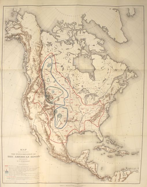
This poignant map was prepared by W.T. Hornaday for a report to the U.S. National Museum, Smithsonian Institution. It traces in red the boundary of the area once inhabited by buffalo. The area outlined in blue and green reflects the tragic and systematic destruction of these herds. The numbers in green represent the location and number of the wild buffalo in existence January 1, 1889. Barely 800 bison were known to exist when this map was published.
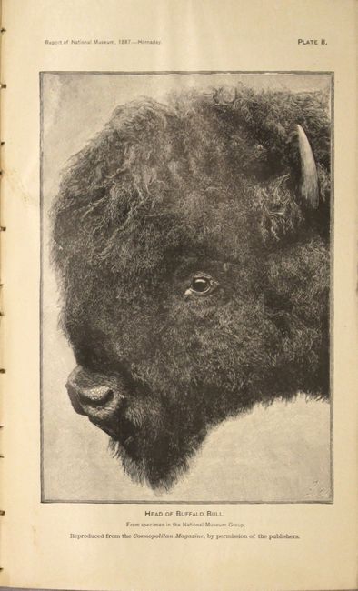
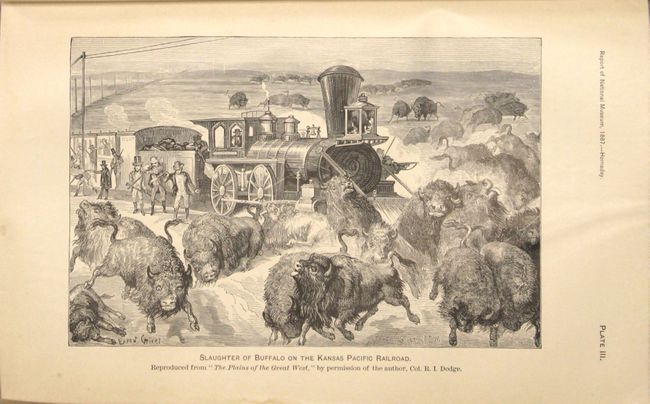
The map is still bound into the complete, 771 page Annual Report of the Boards of the Regents of the Smithsonian Institution, Part II, which includes the 183 page report "The Extermination of the American Bison, with a Sketch of its Discovery and Life History." Includes 31 plates and numerous in-text illustrations.
References:
Condition: B+
The map, issued folding, is mostly clean and bright with a small, faint damp stain to the right of the title and a 3.5" binding tear at left closed on verso with archival tape. Text and plates are very good with light toning in the text and an occasional damp stain at bottom. Covers are stained, the hinges are starting, and the spine is chipped along the head.