Subject: Exploration and Surveys, Utah
Period: 1890 (published)
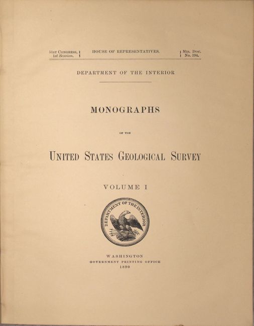
Publication: Misc. Doc. 194, 51st Congress, 1st Session
Color: Printed Color
Size:
9.2 x 11.7 inches
23.4 x 29.7 cm
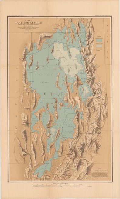
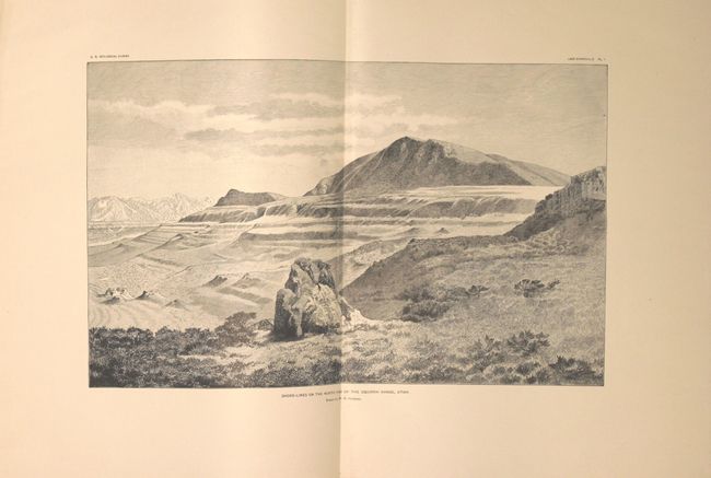
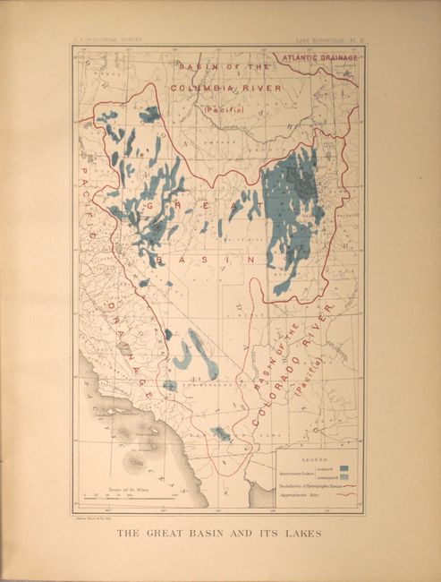
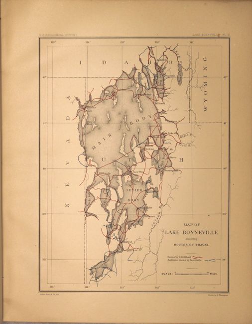
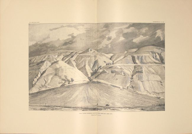
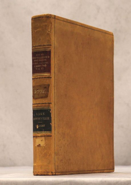
This volume contains G.K. Gilbert's detailed examination of the Lake Bonneville region. Lake Bonneville was a prehistoric inland sea that covered a massive area including about half the present-day state of Utah and parts of southern Idaho and eastern Nevada. When the sea receded it left behind distinctive benches or terraces on the Wasatch Mountains. The Great Salt Lake, Utah Lake and Lake Sevier are modern remnants of this once great inland sea. In addition to the 438 pages of text are 51 plates, many of which are in color, including the double-page "Shore-Lines on the North End of the Oquirrh Range" and "Fault Scarp Crossing Alluvial Cone, Near Salt Lake City." Also present is the large, folding Map of Lake Bonneville (17.7 x 27.7") which depicts the extent of both the ancient waters (blue) and modern water lines (blue/white shaded lines). The map was prepared by Gilbert and assisted by Gilbert Thompson, Israel C. Russell, H.A. Wheeler and Albert I. Webster. Quarto, hardbound in full tan leather with gilt title labels on spine.
References:
Condition: B+
The folding map, plates, and text have light toning. The folding map also has a short split at a fold intersection, otherwise excellent. Several signatures are beginning to come loose and there is light surface wear to the extremities. Spine is detached at the back cover.