Subject: Geography Books
Period: 1853 (published)
Publication:
Color: Hand Color
Size:
9.9 x 11.9 inches
25.1 x 30.2 cm
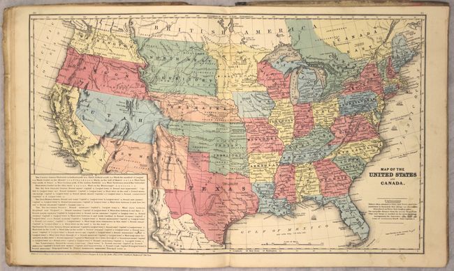
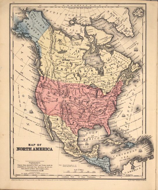
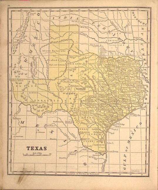
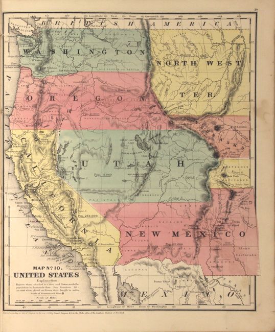
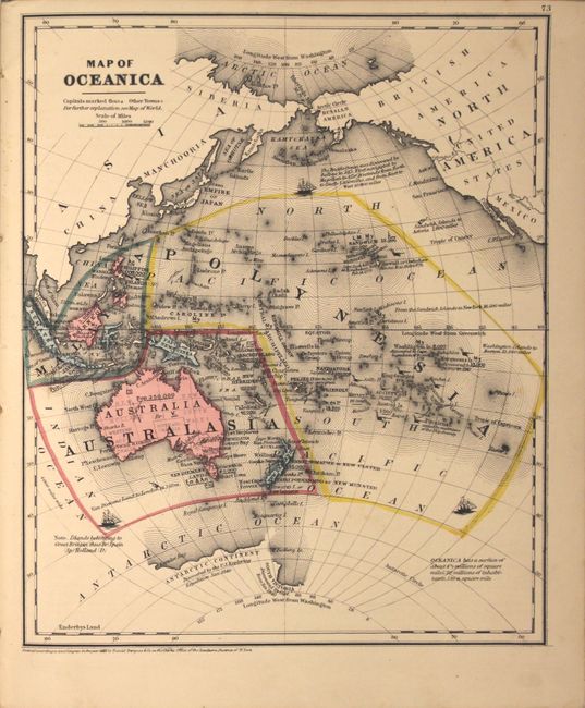
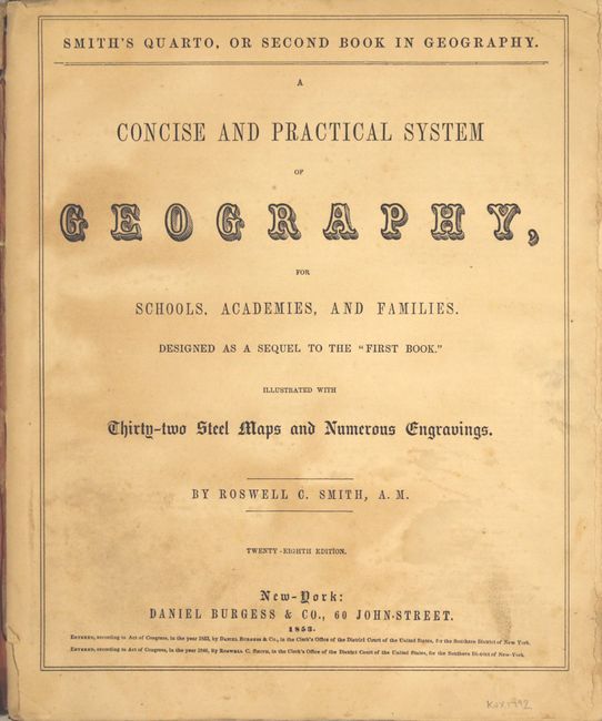
This is the complete twenty-eighth edition with 32 steel-plate maps and numerous wood engravings in the text. The double-page map of the United States includes a Minnesota reaching to the Missouri River, Northwest Territory from the Missouri to the Rockies, Washington and Oregon extending from the Rockies to the Pacific, Nebraska with a Western extension, early Utah and New Mexico, California, and a large Indian Territory. Eleven single-page maps show various parts of the U.S. Texas appears alone on a single page, and the western United States is also shown on a single page. Maps published by Daniel Burgess & Co.
References:
Condition: B+
Condition code is for the maps which are mostly near fine (A) with only a few maps in very good condition (B+) due to a small stain or faint toning. Text block has nearly separated from the binding, and the covers are heavily worn, stained, and slightly warped.