Subject: Egypt
Period: 1930 (circa)
Publication:
Color: Printed Color
Size:
9.8 x 51.3 inches
24.9 x 130.3 cm
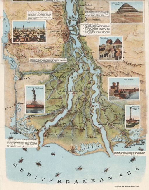
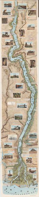
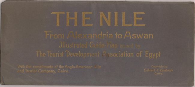
This colorful and heavily illustrated map of the Nile was published by Lehnert & Landrock. It traces the river from the Mediterranean to just south of Aswan, with the north oriented to the bottom. The map includes 28 small inset views depicting the Sphinx, the city of Cairo, the step pyramid of Djoser, the Ramesseum, and much more. There are also several notes on sites of interest. An inset at top right extends the area covered from Aswan to Wadi Halfa. The stamp of the Anglo American Nile and Tourist Company adorns the top right section of the map. Folds into paper covers.
References:
Condition: B+
There are a few fold separations and edge tears that have been closed with tape on verso. The covers are lightly sunned and soiled.