Subject: Africa
Period: 1815-60 (circa)
Publication:
Color: Hand Color
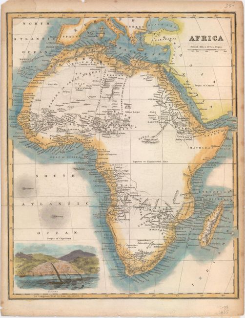
A. Africa, by Anonymous, circa 1860 (8.1 x 9.9"). This nicely engraved map of Africa extends to include Spain, Portugal, Italy, Greece, Turkey, and part of the Arabian Peninsula. The detail is largely confined to the coasts of the continent, with a large area of the interior left blank. Maravi Lake is partially delineated. A vignette at bottom left depicts a view of Algiers. Condition: Issued folding with a couple short fold separations at right, a light damp stain that just enters the border at top left, minor offsetting, and marginal soiling and toning.
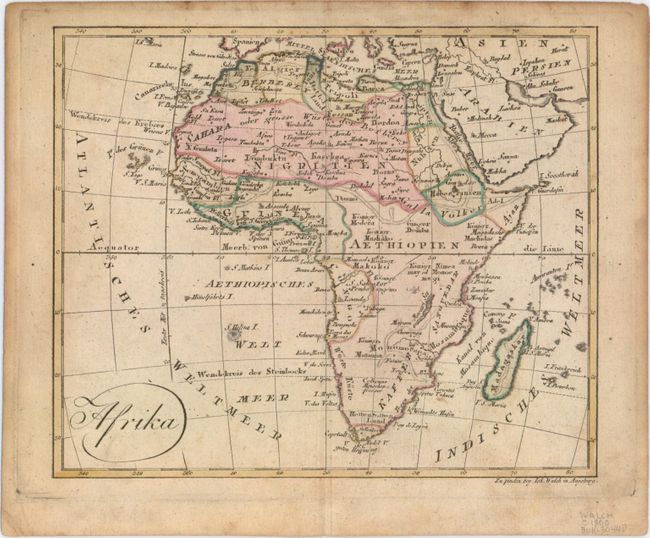
B. Afrika, by Johannes Walch, from Allgemeiner Atlas nach den Bewahrsten Hulfsmitteln..., circa 1812 (8.6 x 7.1"). This small German map of the continent features a plethora of place names. It features little to no conjectural geography. The source of the Blue Nile is correctly shown, but the course of the White Nile is incomplete. Condition: A nice impression with light soiling and toning along the sheet's edges, well away from image.
References:
Condition: B+
See description above.