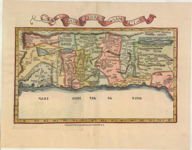
Subject: Holy Land
Period: 1525 (circa)
Publication: Claudii Ptolemaei Geographicae…
Color: Hand Color
Size:
16.5 x 9.6 inches
41.9 x 24.4 cm
Claudius Ptolemy was a mathematician, astronomer and geographer who worked in Alexandria, then a part of the Roman Empire, in the 2nd century AD. One of the most learned and influential men of his time, his theories dominated both astronomy and geography for nearly 1500 years. His writings were kept alive by Arabic scholars during the Middle Ages and reemerged in Europe during the Renaissance. The birth of printing led to wide dissemination of his great works on astronomy and geography. There were a number of editions of his Geographia beginning in 1477. These early editions contained maps based on his original writings, known as Ptolemaic maps. As geographic knowledge increased with the explorations of Columbus, Magellan, Cabot and others, maps of the New World were added, and maps of the Old World were revised. Ptolemy's Geographia continued to be revised and published by some of the most important cartographers including Martin Waldseemuller, Sebastian Munster, Giacomo Gastaldi, Jodocus Hondius, and Gerard Mercator (whose last edition was published in 1730).
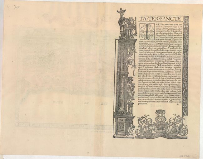
This important map of the Holy Land is based on the first 'modern' depiction of Palestine by Sanuto-Vesconte in 1320. The map is divided into the Twelve Tribes of Israel and covers the coast from Sidon to Gaza and inland to show the land on both sides of the Jordan. Rope-like mountain ranges dominate the topography of the map. The oversized Lake of Merom is called Mare Galilee, and the Dead Sea is shown as an elongated narrow lake. The map is oriented with east at top, in a configuration that set the standard for maps of the region for the next 150 years. Latin text and illustrations on verso.
References: cf. Laor #612; Mickwitz & Miekkavaara (Nordenskiold) Vol. II #208-41.
Condition: A
A nice impression on watermarked paper with light show-through of illustrations on verso and a hint of toning along centerfold.