Catalog Archive
Auction 154, Lot 606

"Map of the Ottoman Dominions in Asia with the Adjacent Frontiers of the Russian and Persian Empires", Wyld, James

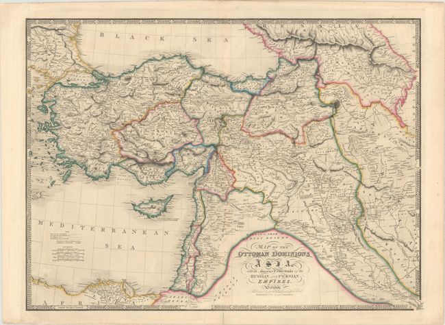
Subject: Middle East

Period: 1840-42 (circa)

Publication: New General Atlas

Color: Hand Color

Size:
27.8 x 20.3 inches
70.6 x 51.6 cm
Download High Resolution Image
(or just click on image to launch the Zoom viewer)

This large-scale map of the Ottoman Empire extends to include Cyprus, the Holy Land, and the northeastern tip of Africa. Several routes are marked along the map, including those of Cyrus and Xenophon, Colonel Leake and General Koehler in 1800, Mr. Browne in 1802, and Mr. Kinnear from 1808 to 1814.

References:

Condition: A

A sturdy sheet with original color, very minor soiling, and a centerfold separation confined to the bottom blank margin.

Estimate: $160 - $190

Sold for: $80

Closed on 9/16/2015

Archived