Catalog Archive
Auction 154, Lot 505

"Nieuwe en Nauwkeurige Kaart van het Zuidelykste Gedeelte van Spanje Genaamt Andalusie...", Ottens, Reiner and Joshua

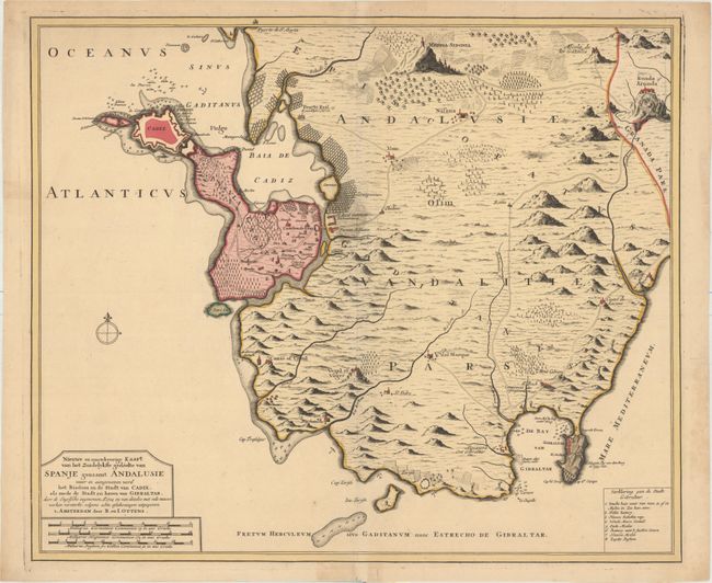
Subject: Southern Spain

Period: 1720 (circa)

Publication:

Color: Hand Color

Size:
22.7 x 19.1 inches
57.7 x 48.5 cm
Download High Resolution Image
(or just click on image to launch the Zoom viewer)

This handsome map of the province of Cadiz was published shortly after Gibraltar was captured in 1704 during the War of Spanish Succession by Anglo-Dutch forces, which is mentioned in the title. The map is fully engraved with topographical details and focuses on the area between the ports of Cadiz to Gibraltar, extending north to Medina-Sedonia and east to the Guadiaro River. Roads, towns, forts, beacons, fields, salt pans, and more are depicted. A numbered key at bottom right identifies locations within Gibraltar.

References:

Condition: A

A bright, clean example with original color. There are archival repairs to several short tears confined to the blank margins.

Estimate: $400 - $500

Sold for: $250

Closed on 9/16/2015

Archived