Catalog Archive
Auction 154, Lot 486

"Descriptio Boloniae Pontieu Comit. S. Pauli cum Adjacentibus", Hondius/Jansson

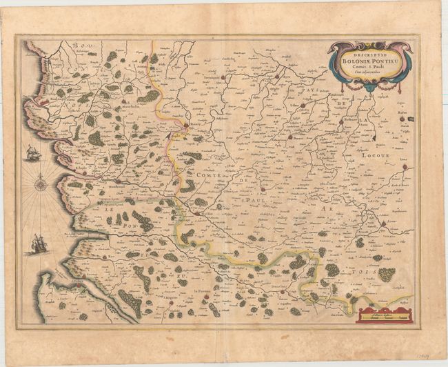
Subject: Northern France

Period: 1639 (circa)

Publication: Atlas Novus

Color: Hand Color

Size:
20.6 x 15.1 inches
52.3 x 38.4 cm
Download High Resolution Image
(or just click on image to launch the Zoom viewer)

Attractive map of the coast of Artois features the fortified cities of St. Valery-sur-Somme, Le Crotoy, Rue, Estaples, and Boulogne-sur-Mer and extends inland to include Arras and Lens. Adorned by two ships in the English Channel and decorative strapwork title and distance scale cartouches. French text on verso, published between 1639-49.

References: Van der Krogt (Vol. I) #4130:1C.1.

Condition: B+

Original color with light toning and foxing, and faint offsetting along the centerfold.

Estimate: $140 - $170

Sold for: $70

Closed on 9/16/2015

Archived