Catalog Archive
Auction 154, Lot 479

NO RESERVE

"Theatre de la Guerre ou Carte Topographique Tres Exacte des Pais-Bas. Contenant les Quartiers d'Anvers, et de Louvain...",

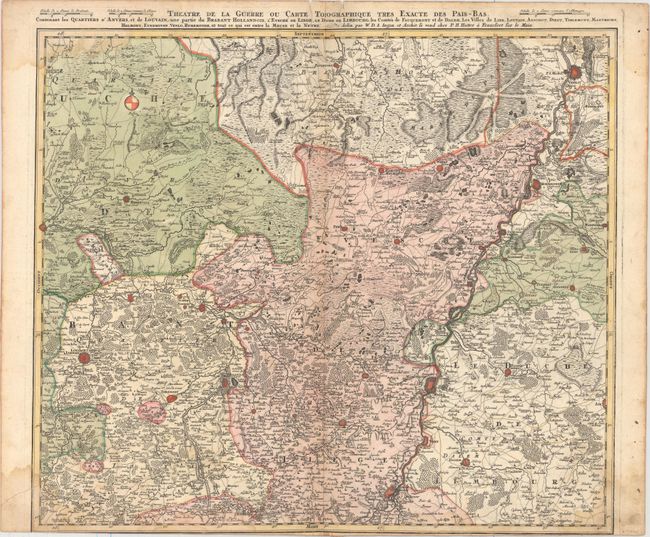
Subject: Low Countries

Period: 1763 (circa)

Publication:

Color: Hand Color

Size:
21.9 x 18.9 inches
55.6 x 48 cm
Download High Resolution Image
(or just click on image to launch the Zoom viewer)

This uncommon, if not rare, map depicts the Theater of War in the Low Countries from Venlo south to Maastricht and Liege and west to Leuven. The map locates numerous fortified towns, forests, marshes and the path of the Meuse River. While drawn in the same style of the works by the Homann Heirs, this separately issued map was published by P.H. Hutter in Frankfurt.

References:

Condition: B+

Trimmed to the neatline at bottom, apparently as issued, with light damp stains at top and bottom and two edge tears that just enter the border at top.

Estimate: $150 - $180

Unsold

Closed on 9/16/2015

Archived