Catalog Archive
Auction 154, Lot 337

"Pas-kaart van de Zuyd-Kust van Espanjola met de Zee Kust van Nuevo Reyn de Granada...", Keulen, Johannes van

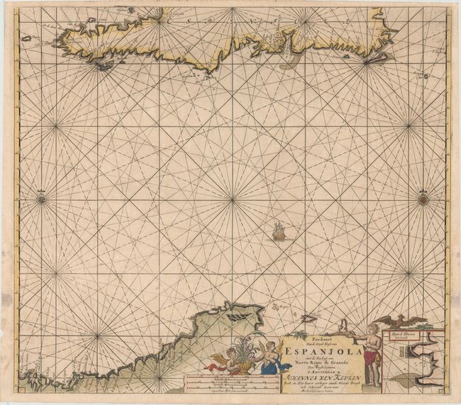
Subject: Hispaniola, Northern South America

Period: 1681 (circa)

Publication:

Color: Hand Color

Size:
23.1 x 20.5 inches
58.7 x 52.1 cm
Download High Resolution Image
(or just click on image to launch the Zoom viewer)

This sea chart depicts the southern portion of Hispaniola, showing detailed navigational information along the coastline near Santo Domingo. At bottom is the coastline of Venezuela and the islands of Aruba and Curacao. An inset at bottom right zooms in on Hispaniola's Tiburon Peninsula. The map is decorated by a sailing ship, two compass roses, radiating rhumb lines, and a title cartouche featuring allegorical figures and a bird.

References:

Condition: A

A nice impression with minor offsetting and faint damp stains that just enter into the neatline at bottom left and bottom right. There are minor archival repairs confined to the blank margins.

Estimate: $375 - $475

Sold for: $200

Closed on 9/16/2015

Archived