Catalog Archive
Auction 154, Lot 31

"Mappe-Monde sur la Projection de Mercator...", Lapie, Alexander Emile & Pierre
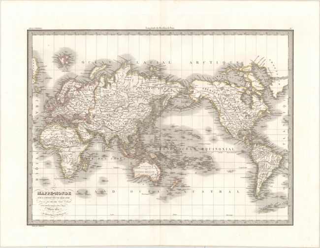
Subject: World

Period: 1832 (dated)

Publication:

Color: Hand Color

Size:
21.5 x 15.8 inches
54.6 x 40.1 cm
Download High Resolution Image
(or just click on image to launch the Zoom viewer)

This attractive map of the world shows the western hemisphere to the right of the eastern hemisphere. There is nice topographical detail, and cities, rivers, and hundreds of islands are identified, including several newly discovered archipelagoes in the Pacific. Australia appears with an accurate coastline and a detached Tasmania. A sliver of Antarctica's coastline is located to the south of South America. America's Pacific Northwest coast and Alaska have also been explored and charted. Engraved by Lallemand.

References:

Condition: A

A dark impression with original outline color, minor offsetting, and a few tiny, unobtrusive spots.

Estimate: $160 - $190

Unsold

Closed on 9/16/2015

Archived