Catalog Archive
Auction 154, Lot 231

"Massachusetts Atlas Plate No. 12", Walker, George H. & Co.

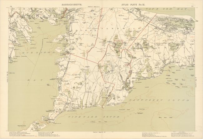
Subject: Cape Cod, Massachusetts

Period: 1891 (dated)

Publication:

Color: Printed Color

Size:
26.4 x 17.6 inches
67.1 x 44.7 cm
Download High Resolution Image
(or just click on image to launch the Zoom viewer)

This uncommon map was issued in Walker’s Atlas of Massachusetts and depicts the southwestern portion of Cape Cod from Buzzard’s Bay to Wood’s Hole. Drawn on a scale of 1 inch per mile, the map locates cities, towns, churches, cemeteries, railroads and roads. Contour lines are shown in light brown at 100 foot intervals

References:

Condition: A

A crisp example on a clean sheet with a tiny centerfold separation in bottom blank margin.

Estimate: $240 - $300

Unsold

Closed on 9/16/2015

Archived