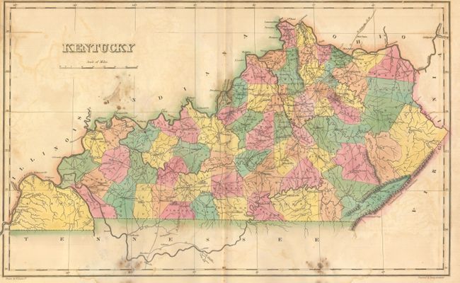
Subject: Kentucky
Period: 1822 (circa)
Publication: A Complete Historical, Chronological, and Geographical American Atlas...
Color: Hand Color
Size:
18.4 x 11.4 inches
46.7 x 29 cm
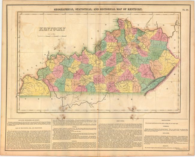
The map is on a full folio sheet (20.4 x 16.7") with English text below giving a brief description of Kentucky's boundaries, productions, rivers, climate, chief towns, manufactures, commerce, education, and religion. The finely engraved map delineates the counties, roads, and major towns. Hickman County dominates the southwest corner of the state, as it has not yet been cut down to form Calloway (organized 1823), Graves (1824), and McCracken (1825). Pilot Knob appears in duplicate in an odd cartographic error. Kentucky and Tennessee are almost always shown on the same map, so it is uncommon to find Kentucky alone during this period. Drawn by Fielding Lucas, Jr. and engraved by Young & Delleker.
References: Phillips (Maps) p. 351.
Condition: B
Original color with several damp stains in the image and light offsetting. The sheet is lightly toned with an edge tear at bottom that extends 0.75" into the descriptive text and has been closed on verso with archival tape.