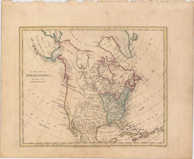
Subject: North America
Period: 1794 (dated)
Publication: 
Color: Hand Color
Size:
10 x 8.1 inches
25.4 x 20.6 cm
This small map of North America shows the young United States confined to east of the Mississippi River.  Florida is divided into East and West Florida, and a prominent River of the West flows into the Pacific at the Entrance of Juan de Fuca.  The west coast is labeled New Albion with a few place names along the coast including Sir Francis Drake's Harbor.  The interior is largely blank with the exception of some limited topography and the river systems including a note that states the "Missouri Navigable 1300 Miles."  Engraved by Thomas Conder.
References: 
Condition: B+
A strong impression with some minor toning and color offsetting from an opposing page.