Catalog Archive
Auction 153, Lot 542

"South-West Russia Showing the Extent of the Kingdom of Poland Previous to Its Partition in 1772", Johnston, Keith

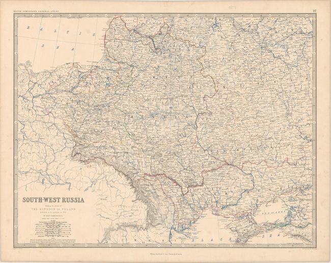
Subject: Eastern Europe

Period: 1879 (circa)

Publication: Keith Johnston's General Atlas

Color: Printed Color

Size:
22.6 x 17.4 inches
57.4 x 44.2 cm
Download High Resolution Image
(or just click on image to launch the Zoom viewer)

This densely engraved map of eastern Europe extends from the Baltic Sea in the northwest to the Black Sea in the southeast, encompassing Latvia, Lithuania, Belarus, Ukraine, and parts of Poland and Russia. There is excellent detail of towns, roads, railroads, political boundaries, rivers, and topography. Engraved and printed by W. & A. K. Johnston and published by William Blackwood & Sons.

References:

Condition: B+

Original outline color with some faint foxing.

Estimate: $80 - $95

Unsold

Closed on 5/20/2015

Archived