Catalog Archive
Auction 153, Lot 380

"Carte du Mexique, et de la Nouvelle Espagne, Contenant la Partie Australe de l'Amerique Septentle. par Mr. d'Anville", D'Anville/Santini

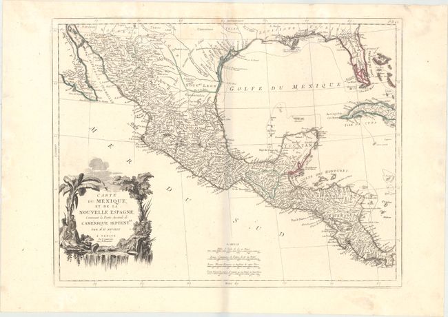
Subject: Gulf of Mexico

Period: 1779 (dated)

Publication: Atlas Universel...

Color: Hand Color

Size:
22.9 x 17.8 inches
58.2 x 45.2 cm
Download High Resolution Image
(or just click on image to launch the Zoom viewer)

A lovely map of Central America, Mexico, the Gulf Coast, Florida, and a portion of Cuba from the cartography of D'Anville. The southern tip of Florida is shown as an archipelago of large islands. Tecas is named on the coast of present-day Texas, and sailing routes are shown along the coasts. The verdant cartouche shows a waterfall and a crocodile, natives, trees, and exotic birds.

References: Phillips (A) #647-49.

Condition: B+

A crisp impression with original outline color on a sturdy, watermarked sheet with a few light stains at top.

Estimate: $350 - $450

Sold for: $200

Closed on 5/20/2015

Archived