Subject: Texas
Period: 1913-58 (dated)
Publication:
Color: Printed Color
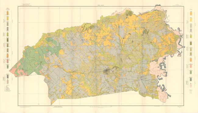
A. Soil Map Texas Washington County Sheet, by U.S. Department of Agriculture, dated 1913 (42.3 x 24.6"). Large folding map shows the entire county in amazing detail on a scale of one inch per mile. Beautifully colored, the map locates towns, villages, roads and railroads. Twenty-six different soil profiles are identified with various colors and patterns. Surveyed by A.H. Meyer, E.C. Eckmann, L. Cantrell and L.V. Davis. Completed under the direction of Milton Whitney and lithographed by A. Hoen & Co.
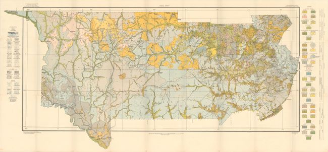
B. Soil Map Reconnoissance Survey, South Central Texas Sheet, by U.S. Department of Agriculture, dated 1913 (46.1 x 22.5"). Like above, this map was published in the fifteenth report of the Field Operations of the Bureau of Soils, under the direction of Milton Whitney. It covers the region from New Braunfels and Austin west to Del Rio and Ft. Lancastor. Includes a color-coded legend identifying forty different soil types. Drainage is identified in blue while relief is shown in brown and black.
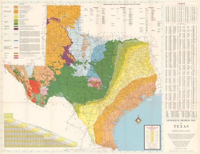
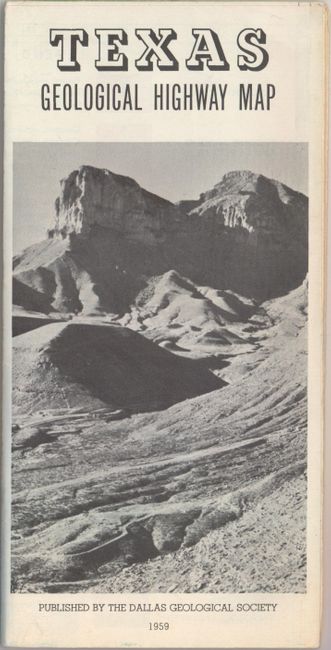
C. Geological Highway Map of Texas, by Philip F. Oetking, dated 1958 (29.1 x 27.3"). This state map features very bold coloring identifying 26 different geologic types laid on top of a highway map. A table above the map identifies the "Time and Rock Units of Texas." Includes a mileage chart and index. Published by the Dallas Geological Society.
References:
Condition: A+
Clean, bright examples issued folding.