Subject: Niagara Falls, New York
Period: 1901 (published)
Publication:
Color: Printed Color
Size:
15.1 x 33.1 inches
38.4 x 84.1 cm
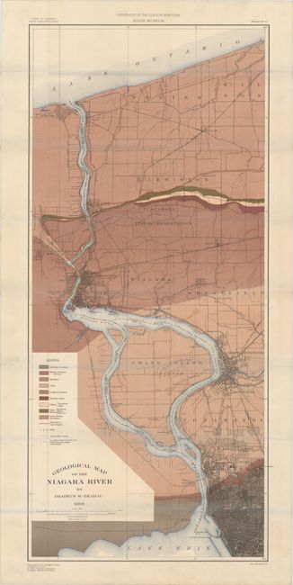
This map depicts a fifteen-mile stretch along the Niagara River from Lake Erie to Lake Ontario. The base map shows roads, railroads, drainage and topography as well as the street grid of Buffalo, Niagara Falls and Tonawanda. The map is color-coded to identify 9 different geological types in addition to wells, ancient river banks and the location of Post Pliocene shells. Drawn on a scale of 1 mile per inch. The base map was produced by the USGS with geology by Amadeus Grabau.
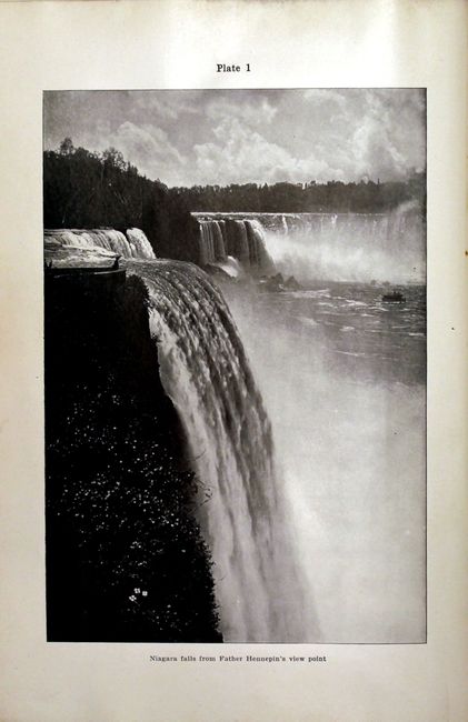
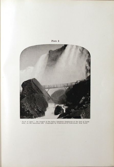
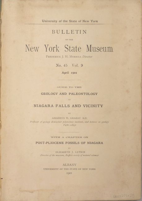
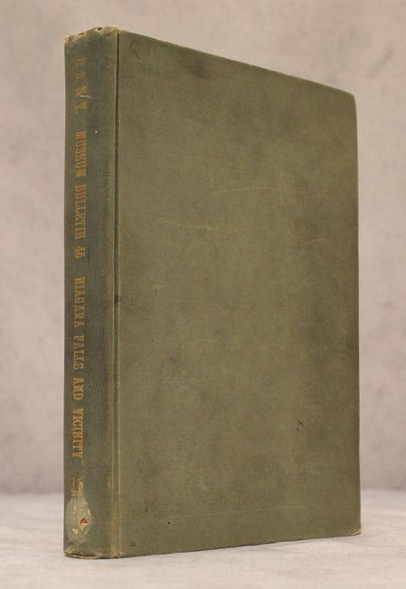
The map is accompanied by the April 1901 Bulletin of the New York State Museum which is comprised of Grabau's "Guide to the Geology and Paleontology of Niagara Falls and Vicinity" with a chapter on "Post-Pliocene Fossils of Niagara" by Elizabeth Letson. 284 pp. of text with 18 photographic plates and numerous other in-text illustrations. 8vo, hardbound with light green cloth boards and gilt title on spine.
References:
Condition: A
Condition code is for the map which is clean and bright, issued folding. Text and plates are near fine with some minor soiling on the title page. Front hinge is starting and the covers have moderate soiling and surface abrasions.