Subject: Kentucky
Period: 1876 (published)
Publication:
Color: Hand Color
Size:
36.5 x 16.5 inches
92.7 x 41.9 cm
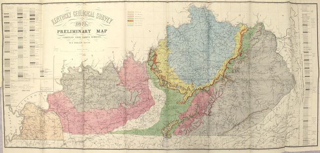
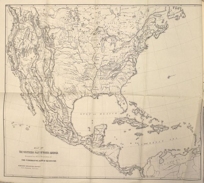
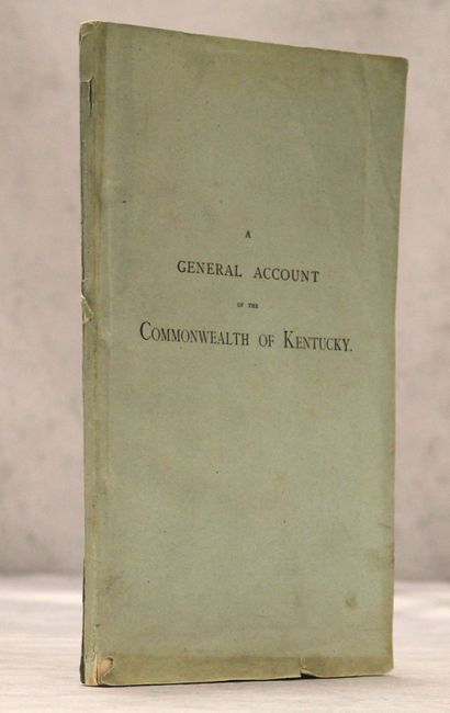
According to Marcou & Marcou, there were only 1,000 copies of this report published for the Centennial Exhibition in Philadelphia. Issued in the report is the very attractive folding Kentucky Geological Survey Preliminary Map by N.S. Shaler, which colorfully illustrates seven different geological types in the state with tables of rock strata with coal beds to the left and right of the map image. A second map entitled Map of the Southern Part of North America Designed to Show the Position of the Commonwealth of Kentucky (17.5 x 15.5") at the front of the volume shows topography and drainage for the entire United States. The 103 pages of text describe the geography, river systems, soils, economic geology, and climate, with an emphasis on coals and iron ores. Published by John Wilson & Son. 8vo, issued in light blue paper wrappers.
References: Marcou & Marcou #596.
Condition: A
Both maps are clean and bright and in near fine condition with the map of the United States having one misfold at bottom right and a short binding tear that just passes the neatline at right. Text is clean and tight. Wrappers have light soiling and a few small edge chips.