Catalog Archive
Auction 153, Lot 210

"The United States of North America, Pacific States", Blackie, W. G. & Son

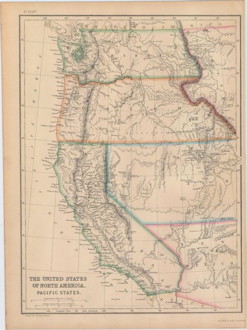
Subject: Western United States

Period: 1855 (circa)

Publication: The Imperial Atlas

Color: Hand Color

Size:
10 x 13.2 inches
25.4 x 33.5 cm
Download High Resolution Image
(or just click on image to launch the Zoom viewer)

Nice map with early territorial boundaries. Washington and Oregon extend to the Rocky Mountains adjoining Nebraska Territory, and the western portions of the large Utah and New Mexico territories are depicted. Shows the Spanish Trail, Cooke's wagon road and Fremont's expeditions in the Great Basin. Drawn by J.W. Lowry and published in Glasgow, Scotland.

References:

Condition: A

Attractive and mild even-age toning and a narrow, but adequate, right margin.

Estimate: $80 - $100

Sold for: $90

Closed on 5/20/2015

Archived