Subject: South Central United States, Texas
Period: 1842-47 (circa)
Publication:
Color: Hand Color
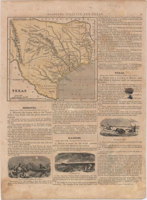
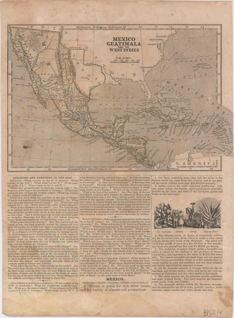
A. Texas, by Anonymous, circa 1842 (5.6 x 5.2"). This small map was published in a school geography book and depicts an independent Republic of Texas. County development is confined to the east and south of Austin with several cities identified including San Antonio de Bexar, Houston, Galveston and Columbus. The western portion of the Republic is undeveloped with the notations "Buffaloes and Wild Horses" and "Comanche Indians." On a full sheet of text measuring 8.8 x 12.3" with the map "Mexico, Guatimala and the West Indies" on verso. Condition: Toning and light soiling. (B)
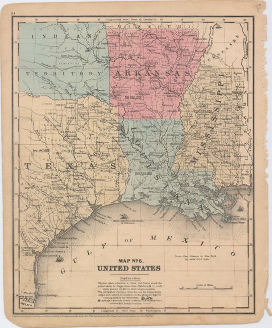
B. Map No. 6. United States, by Cady & Burgess, dated 1847 (8.6 x 10.6"). This small map covers the states of Texas, Louisiana, Mississippi, Arkansas and Indian Territory. This is one of the earlier maps to show Dallas. Despite the map's date, county development is current to 1849 with the additions of Cooke and Tarrant counties to the west of Dallas. Numerous cities and towns are located along with population statistics. Condition: Minor soiling and a slightly tattered right blank margin where the sheet was bound. (B+).
References:
Condition:
See description above.