Catalog Archive
Auction 153, Lot 166

First Edition

"A New Map of Virginia, and Maryland", Moll, Herman

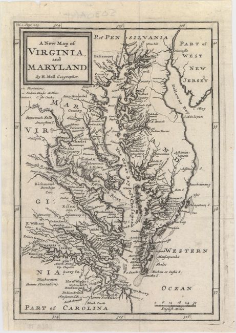
Subject: Colonial Mid-Atlantic United States, Virginia & Maryland

Period: 1708 (circa)

Publication:

Color: Black & White

Size:
6.9 x 10.1 inches
17.5 x 25.7 cm
Download High Resolution Image
(or just click on image to launch the Zoom viewer)

This is the first edition of this highly detailed map of the Chesapeake Bay region. It was based on information from Augustine Herrman's map of 1673 and became one of the most familiar depictions of Virginia and Maryland during the first half of the eighteenth century. The map features the Tidewater region and marks the sites of plantations and Indian villages, in addition to counties, towns, off-shore shoals, and islands.

References: cf. Shirley (BL Atlases) T.MOLL-3a #99; cf. Stephenson & McKee #II-16; Wooldridge #85.

Condition: A

A nice impression with a short archivally repaired tear in left blank margin.

Estimate: $600 - $750

Sold for: $450

Closed on 5/20/2015

Archived