
Catalog Archive
Auction 153, Lot 128
"Partie de l'Amerique Septent? qui Comprend la Nouvelle France ou le Canada", Robert de Vaugondy, Didier
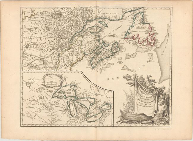
Subject: Northeastern United States & Canada, Great Lakes
Period: 1788 (circa)
Publication: Atlas Universel
Color: Hand Color
Size:
23.8 x 19.1 inches
60.5 x 48.5 cm
Download High Resolution Image
(or just click on image to launch the Zoom viewer)
(or just click on image to launch the Zoom viewer)