Subject: References
Period: 1979 (published)
Publication:
Color: Black & White
Size:
7.6 x 10.1 inches
19.3 x 25.7 cm
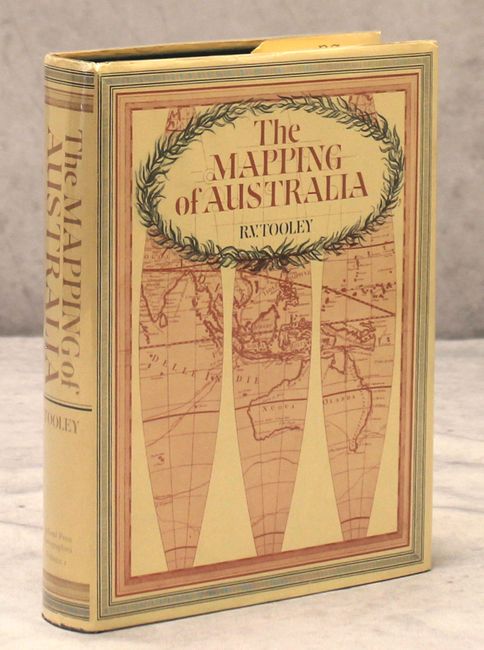
This reference is essential for collectors of maps of Australia. It provides a historical account of the mapping of Australia, showing its evolution throughout the centuries. Essays on maps of Australia during the Dutch Period, foreign maps of Australia, the printed maps of New South Wales, maps of Tasmania, and the French mapping of New Zealand are included. There is also a helpful alphabetical list of the 1560 maps in the National Library of Canberra. 633 pp., 239 plates. This is the first edition without the material on the early mapping of Antarctica. Hardbound in green cloth with an illustrated dust jacket.
References:
Condition: A
Cover and contents fine with minor wear to the dust jacket.