Subject: Miscellaneous Books, Native Americans
Period: 1886 (circa)
Publication:
Color: Printed Color
Size:
6.2 x 9.3 inches
15.7 x 23.6 cm
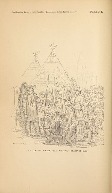
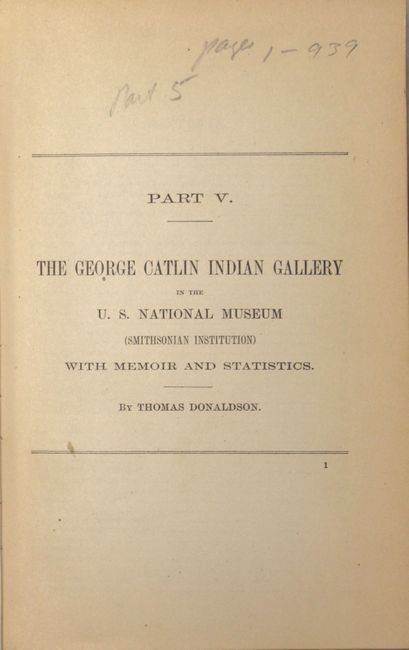
George Catlin was an American artist and traveler who devoted most of his career to studying and illustrating the customs of the American Indian. He painted over 600 pictures of the people and their cultural life from 48 different tribes. His work was first published in 1841 as Manners, Customs, and Condition of the North American Indians, and was reissued several times. In 1879, several years after Catlin's death, his wife donated over 500 of his works on Indians along with numerous other artifacts to the Smithsonian in Washington, DC. This work details Catlin's "Indian Gallery" in the Smithsonian along with his memoir, itineraries of his travels, and statistical information on Native Americans. Included are over 100 plates depicting Native Americans and 6 maps. The maps included are:
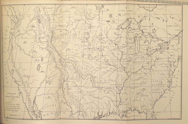
A. Outline Map of Indian Localities in 1833 (13 x 8")
B. United States Indian Frontier in 1840 (4.3 x 6.8")
C. Mr. Catlin's Itinerary in North America, 1830-55 (6 x 7.4")
D. Mr. Catlin's Itinerary in South America, 1852-58 (5.9 x 7.5")
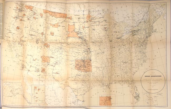
E. Map Showing the Location of the Indian Reservations within the Limits of the United States and Territories (33.4 x 21")
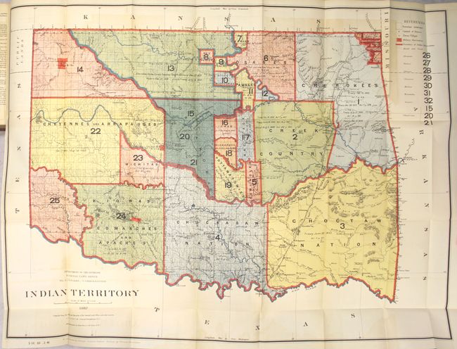
F. Indian Territory (32 x 24") This map is from the series of General Land Office maps reflecting the status of lands allocated to various tribes as shown through color-coding. The Indian Territory was initially established as a place to relocate the principal eastern Indian tribes and the Five Civilized Tribes formed the nucleus of an organized government. By 1887, however, representatives of some fifty tribes had settled on lands once promised to the original five. This map reflects many of these allocations and shows 25 separate regions and names seven more. A small portion of the panhandle is shown and labeled Public Lands. Drawn by G. P. Strum and photolithography by Julius Bien & Co., N.Y.
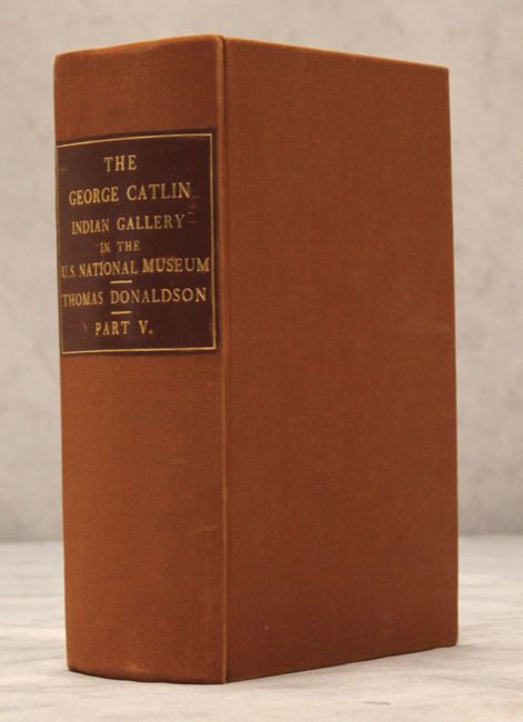
Complete with 144 plates (including 5 folding maps), 939 pp. Octavo. Rebound in brick red cloth-covered boards, new faux leather label with gilt title on spine, and new endpapers.
References:
Condition: A
The maps and plates are all in near fine condition, with the exception of the two large folding maps, which are in very good (B+) condition. The <i>Map Showing the Location of the Indian Reservations</i> has light toning, a 5" binding tear that has been closed on verso with archival tape, and a few minor fold separations. The map of <i>Indian Territory</i> has light color offsetting. There is minor toning along edges of text. New covers and spine are in excellent condition.