Subject: Exploration and Surveys
Period: 1856 (published)
Publication: Sen Ex Doc. #5, 34th Congress, 3rd Session
Color: Black & White
Size:
8.9 x 11.9 inches
22.6 x 30.2 cm
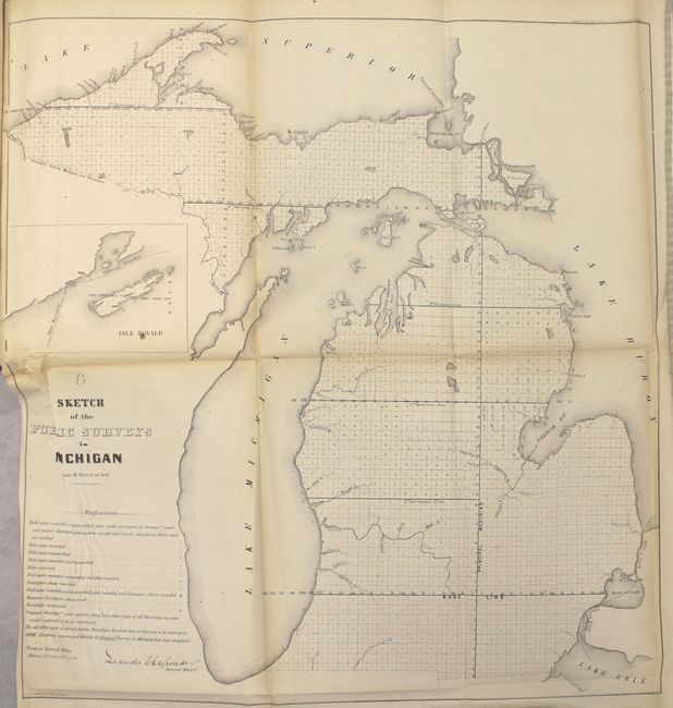
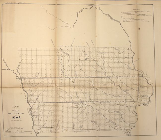
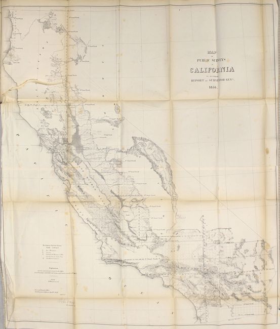
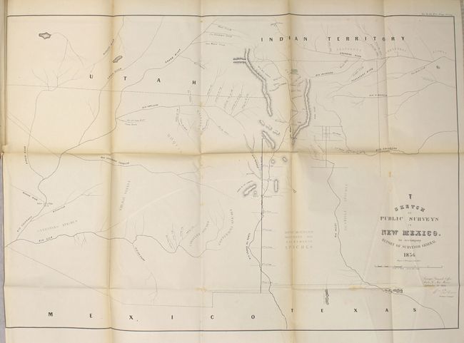
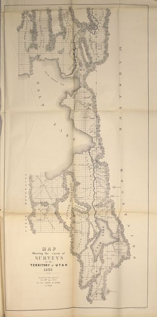
This is the complete volume of illustrations accompanying the reports submitted for the 3rd session of the 34th Congress and demonstrate surveying progress primarily in the Midwest and western United States, including maps of Michigan, Iowa, California, New Mexico, and Utah. The 12 maps included in this volume are:
Sketch of the Public Surveys in the State of Michigan
Map of the State of Wisconsin and Territory of Minnesota
Map of the State of Iowa
Sketch of the Public Surveys in the State of Arkansas
A Map of the State of Louisiana, Representing the Several Land Districts
A Map of the State of Florida, Exhibiting the Extent and Condition of the Survey in That State
A Map of the Public Surveys in the State of California
A Map of a Part of the Territory of Washington
A Map Showing the Amount of Surveys Executed in the Territory of New Mexico
Sketch of the Public Surveys in the Territories of Kansas and Nebraska
A Map Exhibiting the Progress of the Surveys in the Territory of Utah
Plan of a New Jail in the City of Washington
Hardbound in original embossed cloth boards with gilt titles on front cover and spine.
References:
Condition: B
Maps are in typical condition with some occasional light toning and foxing and several of the maps have short binding tears and misfolds. The maps of California and Florida have longer binding tears at 7" and 5" respectively. Covers show light wear with some cracking along the joint.