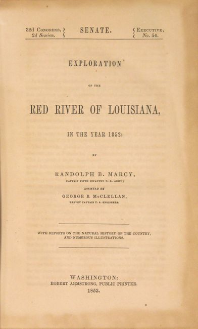
Subject: Exploration and Surveys
Period: 1853 (published)
Publication: Sen. Ex. Doc. 54, 32nd Congress, 2nd Session
Color: Black & White
Size:
5.9 x 9.2 inches
15 x 23.4 cm
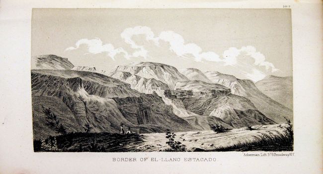
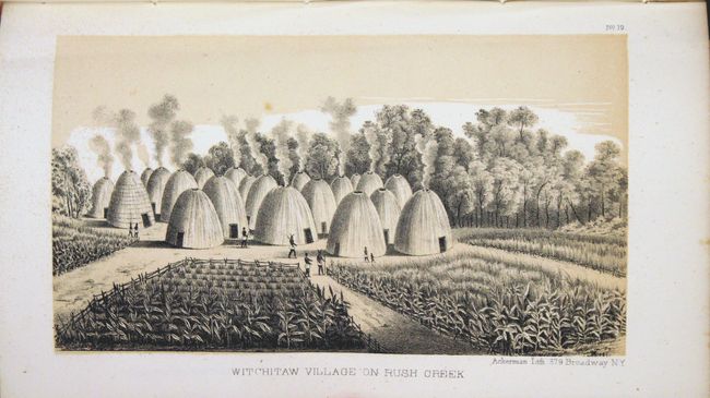
The U.S. Army expedition commanded by Captain Marcy was the first to discover the source of the Red River. His report abounds in topographical and geographical detail with attention also paid to the customs of the native people in the southern plains. It includes an impressive scope of data, including meteorological and natural history information, with emphasis on geology, paleontology, reptiles, fish, insects and botanicals. Sixty-five beautifully lithographed plates are included, consisting of 12 lithographed views, 10 geological plates (as well as one hand-colored fold-out profile section), 6 paleontology plates, 18 zoological plates, and 19 botanical plates. Of particular importance are the two folding map including with the report:
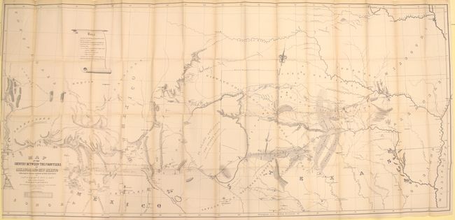
Map of the Country between the Frontiers of Arkansas and New Mexico embracing the section explored in 1849. 50. 51. & 52., (59 x 27.5"). This is a most informative map of the region illustrating the explorations of Capt. Marcy, with inputs from Col. Emery's Boundary Survey, Capt. Sitgreaves' map, as well as those of A.B. Gray and J. de Cordavas. It details the area from the Mississippi River to the Colorado, and from about 30° N. latitude to the Arkansas River. North of the Gila River the region is noted as Unexplored, with a legend reading, "In the vicinity of this place a tract of country is found which is said by several trappers to be exceedingly fertile, and abundantly timbered and well watered." This erroneous note (in the Sonora Desert) shows up a decade later on A.J. Johnson's early maps of the Southwest. Filled with a copious amount of important information and detail on Oklahoma, North Texas, New Mexico and Arizona, the map locates exploration routes, Indian tribes, disputed territories, and much, much more. Wheat considers this map one of the best of the period that "no emigrant could afford to be without it". Condition: Near fine condition with pleasant faint toning and a binding trim at left that just enters the neatline.
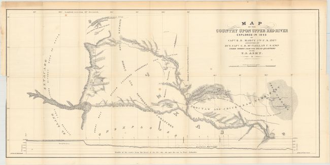
Map of the Country upon Upper Red River explored in 1852 (33.8 x 16") is of special interest to Texas and Oklahoma collectors. It covers an area in Texas wholly unexplored previously, including southwest Oklahoma (here Choctaw and Chickasaw Territory). At the time, the only information on the region was from Indians and Indian traders. The map details Marcy's route of exploration through this part of Texas with camp dates, the route of the train from Preston to Warren's T.H. at Cold Spring, Indian villages and settlements, topography and hydrology. Filled with fascinating notations about the land and resources including a large profile of the entire region. Earlier attempts at exploration had been thwarted by the Spanish; Capt. Sparks in 1806, Lt. Pike again in 1806 and Col. Long in 1819-20. Condition: A few minor spots in the image and light toning in the upper blank margin.
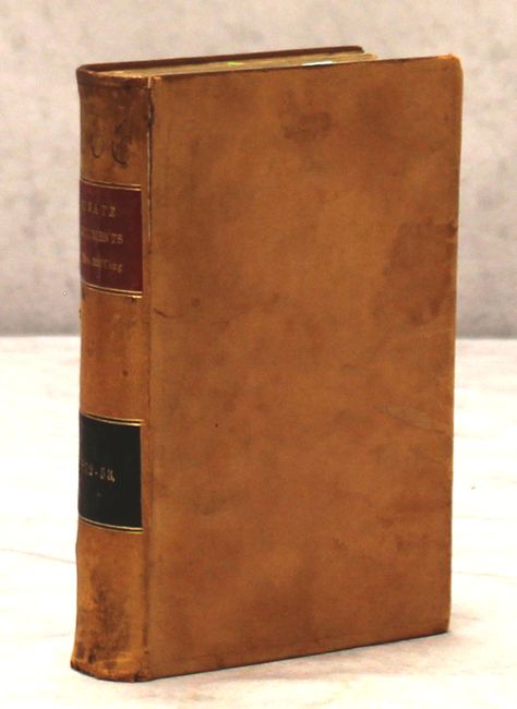
Hardbound in full leather with gilt title label on spine. 320pp. 8vo.
References: Wheat (TMW) #791; Wagner-Camp 226:1; Howes #M276.
Condition: A
Condition code is for the maps - see above for map descriptions. Text and plates are very good with occasional light scattered foxing and toning. Hinges are starting. The covers show light to moderate wear and are beginning to detach at top.