Subject: Exploration and Surveys, United States
Period: 1845 (published)
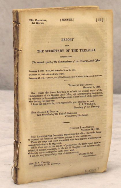
Publication: Senate Doc. 16, 29th Congress, 1st Session
Color: Black & White
Size:
6 x 9 inches
15.2 x 22.9 cm
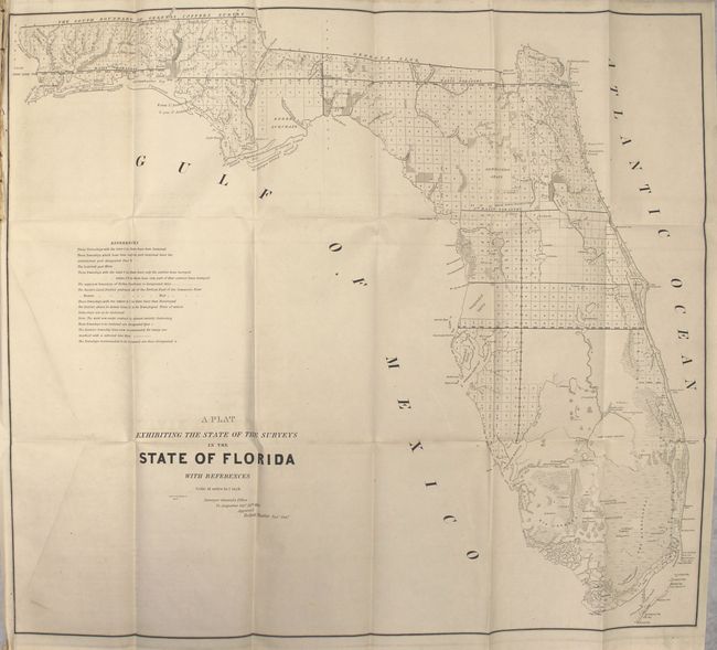
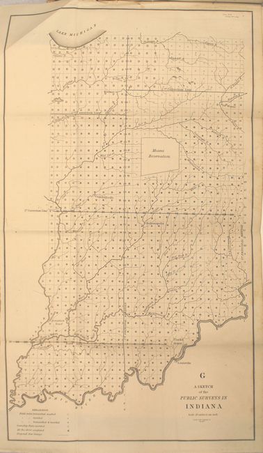
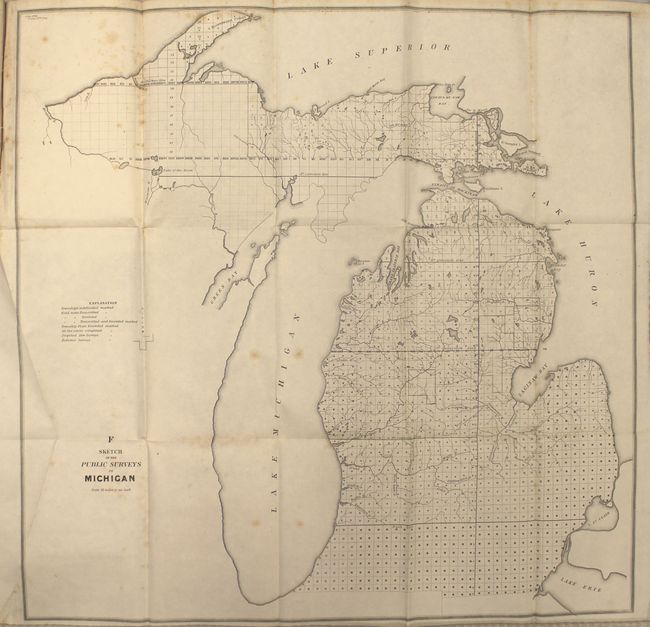
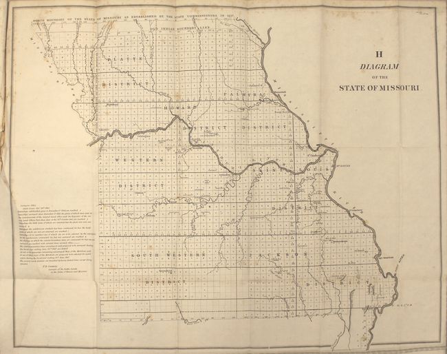
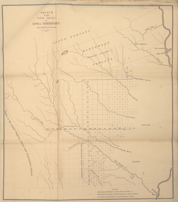
This early annual report contains fourteen maps detailing the progress of public surveys in the United States. The maps included with the 114 pp. report are:
A Sketch of the Public Surveys in Indiana
Sketch of the Public Surveys in Michigan
Diagram of the State of Missouri
Diagram of the State of Illinois
Sketch of the Public Surveys in Iowa Territory
Sketch of the Public Surveys in Wisconsin Territory
Arkansas
Diagram of the Surveying District South of Tennessee
Greensburg District La.
South Eastern District Louisiana
Map of the District North of Red River and part of N.W. District La.
Map of the South Western District Louisiana
A Diagram of the State of Alabama
These maps are bound into the original report by R.J. Walker, Secretary of the Treasury to the Hon. George M. Dallas, Vice President and President of the Senate. Disbound.
References:
Condition: B+
Maps are generally very good with occasional light scattered foxing. Disbound text is loose but still held together by its binding string. There is a library stamp on one of the text pages and on the fore-edge of the text block.