Subject: Atlases
Period: 1782 (published)
Publication:
Color: Hand Color
Size:
9 x 11.5 inches
22.9 x 29.2 cm
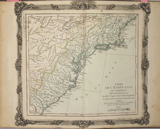
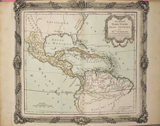
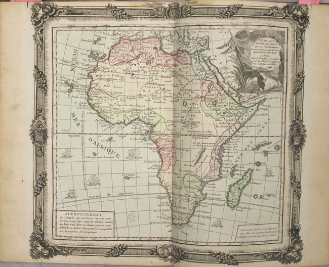
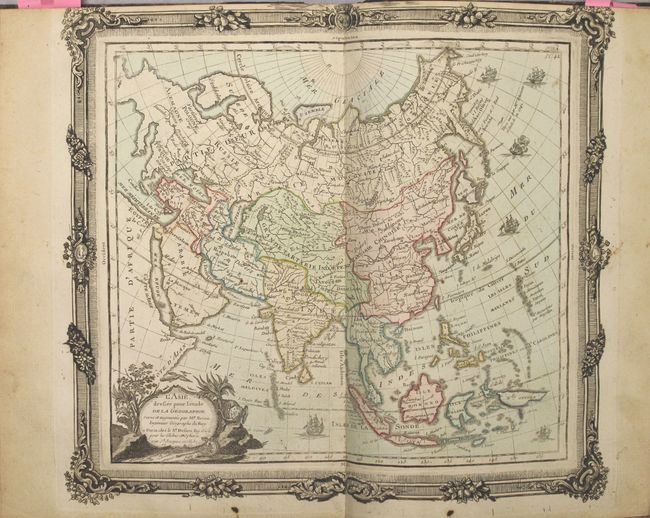
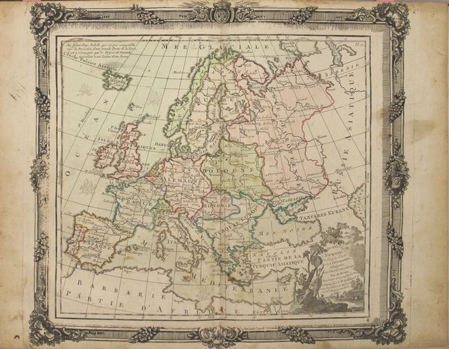
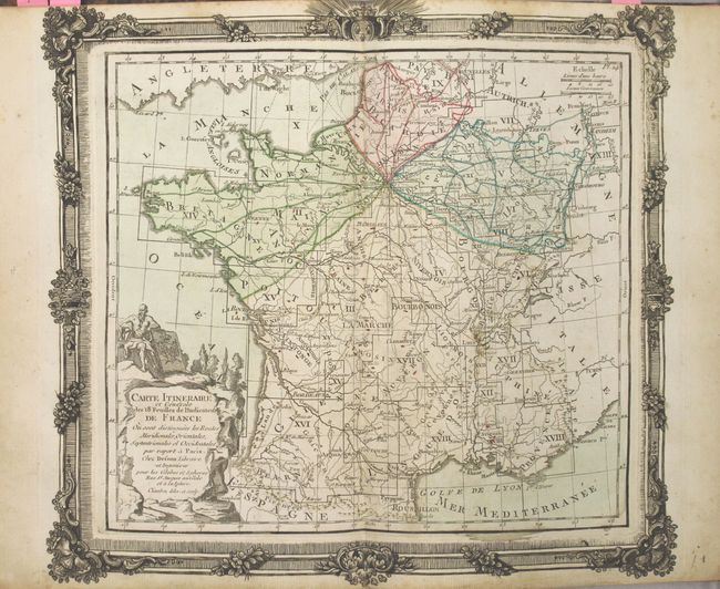
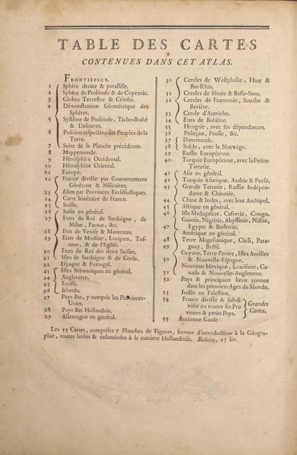
This decorative French atlas was published towards the end of the Revolutionary War. It includes 54 double-page maps, each "illuminated" (hand colored) in the Dutch style and surrounded by an elaborate rococo border that was printed from a separate plate. Although not all of the maps are dated, most of the maps bear dates between 1764 and 1780, except for the map of southern Italy which bears the date 1783. There are 7 plates showing globes, armillary spheres, and diagrams of the planets, the winds, the earth and more. There are maps of the world, ancient world, each hemisphere, Europe, Asia, Africa, and the Americas. There are also regional maps of Europe (28), Asia (5), Africa (2), and 4 related to the Americas. The last two maps on the printed list of maps are two large folding maps of France, which do not appear in this example and were replaced by maps of the Eastern US and India. Please see images for the full list of maps.
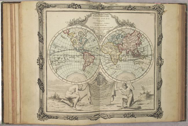
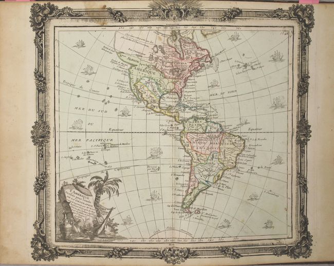
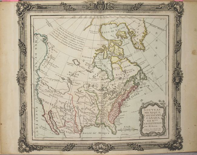
The double-hemisphere map of the world (dated 1778) features a large Sea of the West and a Northwest Passage in North America, as well as a conjectural shape for Australia. The title and dedication cartouches are tucked between the cusps; the hemispheres are supported on the shoulders of two men bearing clubs. The map of the Americas (dated 1764) is surrounded by sailing ships, some engaged in battle. While the interior of the map contains little cartographic information, the northwest part of North America is quite interesting. A large bay labeled Entrée de Martin d’Aguilar en 1603 indents the coastline, while above that, a river and lake system provide a complex Northwest Passage. Just above this fictitious passage is a notation that the existence of a Sea of the West is questionable. The map of North America (dated 1766) covers the majority of the continent, excluding Alaska and southern Mexico. The western region is virtually unknown, but notations are made concerning the recent discoveries along the Northwest coast. The River of the West flows out of Lake Winnipeg, which is connected through a system of rivers and lakes to Hudson Bay, thereby forming the long-sought Northwest Passage. Another spurious river empties into San Francisco Bay and Quivira is located in present day Nevada, but there is no mention of a Sea of the West.
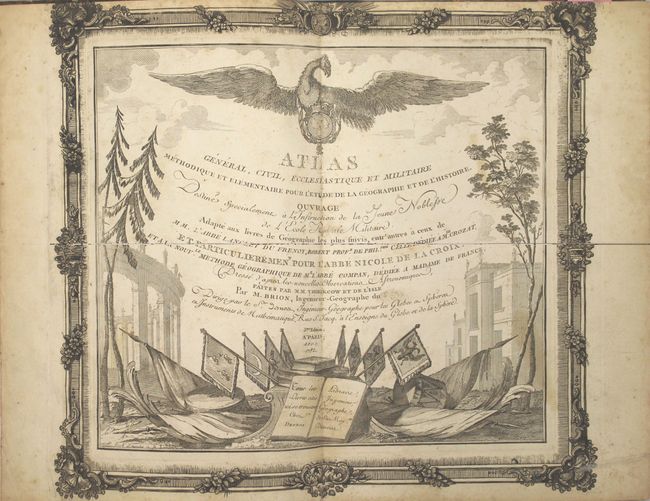
Title page, index, list of maps, and 54 maps. Quarto. Rebound in quarter leather over marbled-paper boards with raised bands and gilt title on spine.
References: McGuirk #128 & 130; Sellers & Van Ee #740.
Condition: B+
The maps are mostly very good, with full original color, light toning along edges of sheet, and occasional spots of foxing or soiling. The hinges are starting and the covers and spine are somewhat worn with a few small chips.