Catalog Archive
Auction 152, Lot 719

"Carte de la Nouvelle Zeelande", Bonne, Rigobert

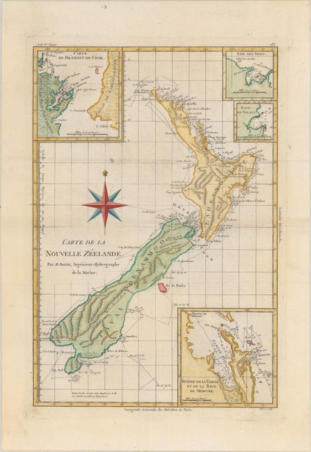
Subject: New Zealand

Period: 1780 (circa)

Publication: Atlas Encyclopedique

Color: Hand Color

Size:
9.2 x 13.5 inches
23.4 x 34.3 cm
Download High Resolution Image
(or just click on image to launch the Zoom viewer)

This scarce, detailed chart of the islands shows the track of Captain Cook's first voyage. The map is finely engraved with detail and includes four insets showing the Coromandel Peninsula (here called Riviere de la Tamise et de la Baye de Mercure), Cook Strait, Bay of Islands, and Tolaga Bay. The waters are filled with soundings and anchorages. Engraved by Andre.

References:

Condition: A

On a watermarked sheet with a couple unobtrusive spots and a hint of toning along the centerfold.

Estimate: $1,100 - $1,400

Sold for: $1,000

Closed on 2/18/2015

Archived