Catalog Archive
Auction 152, Lot 709

"A Chart of the Nth. West Coast of America, & the Nth. East Coast of Asia, Shewing the Discoveries That Have Been Lately Made in Those Parts", Morse/Gridley

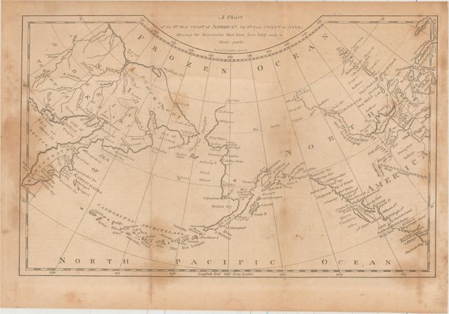
Subject: North Pacific Ocean

Period: 1795 (circa)

Publication: Morse's Geography

Color: Black & White

Size:
11.3 x 7.1 inches
28.7 x 18 cm
Download High Resolution Image
(or just click on image to launch the Zoom viewer)

This chart correctly shows the Alaskan peninsula with the Aleutian Islands named Catherines Archipelago. The map stretches from Kamtschatka to North America with surprising detail in north central Canada. Along the coast numerous place names are located including Cape Flattery, Straits of Juan de Fuca, Queen Charlotte's Island and Montague Island, to mention a few. A British Factory is located by Port Brooks. Mackenzie's tract of 1793 is delineated from the interior to the Pacific Ocean.

References:

Condition: B

Issued folding with a faint damp stain along the top quarter of the sheet and several brown stains along the edges of the map.

Estimate: $140 - $170

Sold for: $70

Closed on 2/18/2015

Archived