Catalog Archive
Auction 152, Lot 670

"Insula Madagascar, Alias S. Laurentii… / Insula de S. Laurety", Bry, Theodore de
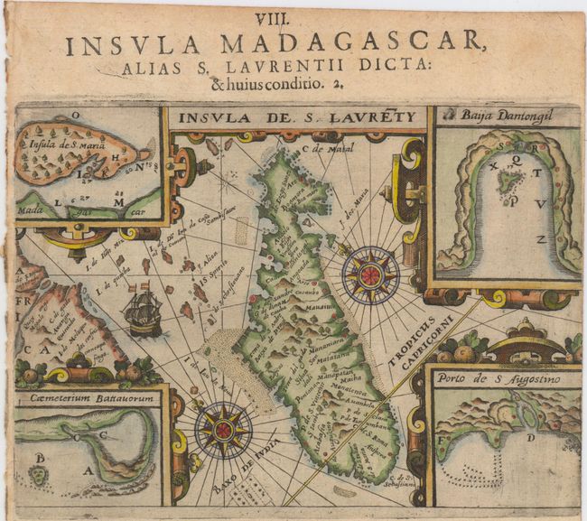
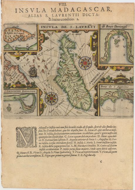
Subject: Madagascar

Period: 1601 (circa)

Publication:

Color: Hand Color

Size:
7.9 x 5.6 inches
20.1 x 14.2 cm
Download High Resolution Image
(or just click on image to launch the Zoom viewer)

This uncommon map of Madagascar illustrates the earliest voyage of the Dutch to the East Indies in 1595. The map is oriented by two large compass roses with northeast to the top. The corners of the map are filled with four detailed insets of the important bays showing the navigational hazards and Insula de S. Maria. Place names are from the earliest Portuguese explorers. On a full sheet of Latin text 11.4 x 8.1".

References:

Condition: A

A strong impression with attractive color. Trimmed to neatline at right with narrow left margin, as issued.

Estimate: $200 - $230

Sold for: $210

Closed on 2/18/2015

Archived