Catalog Archive
Auction 152, Lot 67

"Carte du Gouvernement de l'Amerique", Chatelain, Henry Abraham

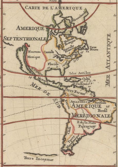
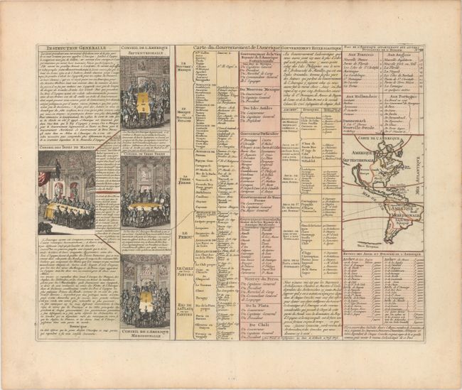
Subject: Western Hemisphere - America

Period: 1720 (circa)

Publication: Atlas Historique

Color: Hand Color

Size:
17.2 x 13.1 inches
43.7 x 33.3 cm
Download High Resolution Image
(or just click on image to launch the Zoom viewer)

A folio sheet filled with fascinating French text, statistics and four engravings showing the Council of the Indies dividing up Spanish Empire in America. The map itself (3.7 x 5.2") shows an unnamed island of California on the Sanson model. The only political detail is the division of the regions between the colonial powers. Far to the south, a purely speculative Antarctic continent is suggested as Terre Inconnue.

References: McLaughlin #164.

Condition: A

Attractive color on watermarked paper with minor toning along edges of sheet.

Estimate: $200 - $230

Sold for: $120

Closed on 2/18/2015

Archived