Catalog Archive
Auction 152, Lot 560

"Le Royaume de Sardaigne Dresse sur les Cartes Manuscrites Levees dans le Pays par les Ingenieurs Piemontois", Santini/Remondini
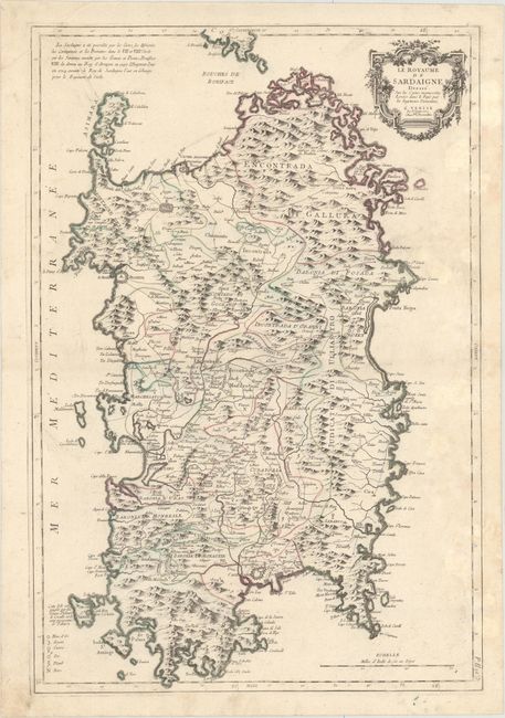
Subject: Sardinia

Period: 1779 (dated)

Publication: Atlas Universel...

Color: Hand Color

Size:
18.3 x 27 inches
46.5 x 68.6 cm
Download High Resolution Image
(or just click on image to launch the Zoom viewer)

This handsome map of Sardinia provides excellent detail of the island's mountainous topography. Political divisions are delineated, and towns and cities, rivers, forts, and mines of gold, iron, copper, and more are identified. Locations of battle are marked with swords and the date of the battle. A note adjacent to San Pietro Island refers to the Genoese emigrants from the colony of Tabarka in Tunisia who populated the island. Another note at top left lists the various nations that possessed the island. A decorative title cartouche adorns the top right corner.

References:

Condition: B+

Original outline color on a sturdy watermarked sheet with light damp stains at right and light soiling that is mostly confined to the blank margins.

Estimate: $550 - $700

Sold for: $350

Closed on 2/18/2015

Archived