Catalog Archive
Auction 152, Lot 541

"A New Map of Latium, Etruria, and as Much of Antient Italy, as Lay Between Gallia Cisalpina and Graecia Magna...", Wells, Edward

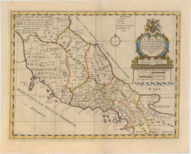
Subject: Central Italy

Period: 1701 (circa)

Publication: A New Sett of Maps both of Antient and Present Geography

Color: Hand Color

Size:
19.1 x 14.3 inches
48.5 x 36.3 cm
Download High Resolution Image
(or just click on image to launch the Zoom viewer)

This map of central Italy shows the bounds of ancient Italy with numerous old place names. The very large title cartouche incorporates the dedication and coat of arms of Prince William, Duke of Gloucester, who was Wells' student at Oxford. Engraved by Sutton Nichols.

References: Shirley (BL Atlases) T.WELL-1a #17.

Condition: B+

A nice impression with a printer's crease adjacent to centerfold, light soiling, and two tiny holes only visible when held to light.

Estimate: $190 - $220

Sold for: $140

Closed on 2/18/2015

Archived