Catalog Archive
Auction 152, Lot 450

"Artois Atrebatum Regionis Vera Descriptio", Ortelius, Abraham

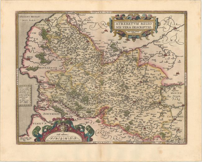
Subject: Northern France

Period: 1595 (published)

Publication: Theatrum Orbis Terrarum

Color: Hand Color

Size:
19 x 14.8 inches
48.3 x 37.6 cm
Download High Resolution Image
(or just click on image to launch the Zoom viewer)

This decorative map of Artois is the first of three maps of the province that Ortelius included in the Theatrum. The map is based on the manuscript map Jacques Surhon made in 1554. For security reasons it was not published until 1579, when Antwerp had been independent for a short time. The map is filled with extensive detail of the rivers, forests, cities, fortifications and villages, and is richly embellished with two large cartouches. This is the second state with a dedication replacing a ship in the ocean. Latin text on verso.

References: Van den Broecke #72.

Condition: A

Nice impression and color on watermarked paper with marginal soiling.

Estimate: $180 - $210

Sold for: $100

Closed on 2/18/2015

Archived