Catalog Archive
Auction 152, Lot 443
"A New & Accurate Map of the Netherlands or Low Countries. Laid Down from the Best Authorities, Assisted by the Most Approved Modern Maps and Regulated by Astronl. Observations", Bowen, Emanuel
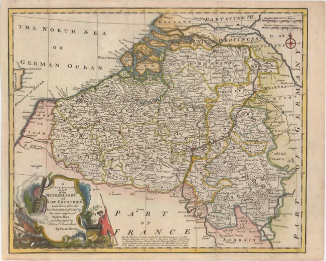
Subject: Low Countries
Period: 1752 (published)
Publication: A Complete Atlas…
Color: Hand Color
Size:
16.9 x 13.9 inches
42.9 x 35.3 cm
Download High Resolution Image
(or just click on image to launch the Zoom viewer)
(or just click on image to launch the Zoom viewer)