Catalog Archive
Auction 152, Lot 381

"Carte Reduite du Detroit de Davids Faite au Depost des Cartes Plans et Journaux de la Marine...", Bellin, Jacques Nicolas

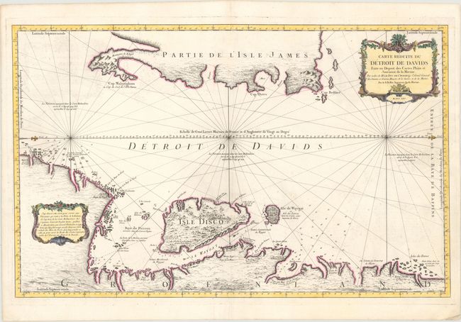
Subject: Greenland, Canada

Period: 1765 (dated)

Publication:

Color: Hand Color

Size:
34 x 21.4 inches
86.4 x 54.4 cm
Download High Resolution Image
(or just click on image to launch the Zoom viewer)

This large-scale sea chart of the Davis Strait was created for whaling ships and illustrates the importance of offshore activities in the region. Oriented with north to the right, the coastline of Greenland at the bottom of the map is well detailed with place names, soundings, water currents, and anchorages. In contrast, the eastern coastline of L'Isle James (Baffin Island) is only partially outlined. This map is based on a similar map by Gerard van Keulen from 1719.

References:

Condition: B+

A dark impression on a sturdy watermarked sheet with light offsetting and some faint spots.

Estimate: $275 - $375

Unsold

Closed on 2/18/2015

Archived