Catalog Archive
Auction 152, Lot 319

"Les Grandes et Petites Isles Antilles, et les Isles Lucayes avec une Partie de la Mer du Nord", Robert de Vaugondy/Santini
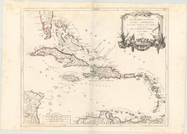
Subject: Caribbean

Period: 1779 (dated)

Publication: Atlas Universel...

Color: Hand Color

Size:
23.3 x 18.8 inches
59.2 x 47.8 cm
Download High Resolution Image
(or just click on image to launch the Zoom viewer)

Fine Italian edition of Robert de Vaugondy's large, detailed map of the Caribbean extending from southern Florida and the Bahamas to the Lesser Antilles and the northern coast of South America. The large decorative title cartouche features a ship, fishing nets, shells, and three wind-heads.

References: cf. Pedley #476.

Condition: B+

Original outline color on a watermarked sheet with minor damp stains at top and marginal soiling.

Estimate: $350 - $425

Sold for: $250

Closed on 2/18/2015

Archived