Subject: Texas
Period: 1923-32 (dated)
Publication:
Color: Printed Color
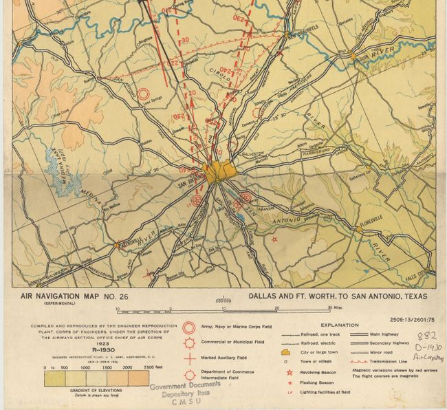
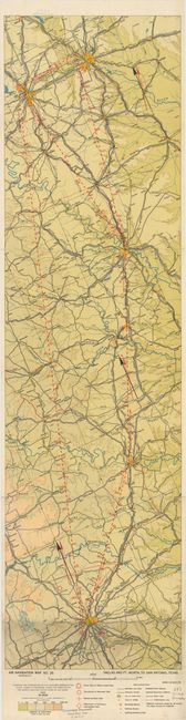
In 1921, the United States Army Air Corps initiated a compressive evaluation of aeronautical charts in an effort to develop a standardized map for visual aerial navigation. Based upon this study, the Air Corps issued 63 air navigation maps covering most of the military routes in the United States. Prior to 1926, these maps were jointly compiled by the Geological Survey and U. S. Army Engineer Reproduction Plant. By 1926, the preparation of air maps shifted to the U.S. Coast and Geodetic Survey (under the Commerce Department) with the passage of the Air Commerce Act. Maps from this point on were intended to merge the growing commercial airways system with the military network. Both maps show elevation and contours, cities and towns, rivers, roads and railroads. Airfield classifications are shown with different symbols. True north and magnetic north are depicted. On a scale of 8 miles per inch.
A. Air Navigation Map No. 26 (Experimental) Dallas and Ft. Worth, to San Antonio, Texas, dated 1923 (10.1 x 37.1"). Map covers the area from Dallas/Fort Worth to San Antonio.
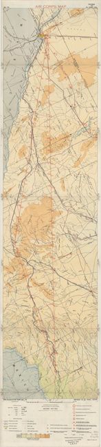
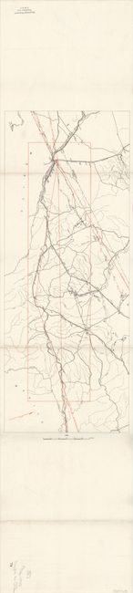
B. Air Navigation Map No. 29 (Experimental) Dryden to El Paso, Texas, dated 1932 (10.3 x 41.8"). Map covers the area from Dryden to El Paso, Texas. Also contains a simplified map of the same route on verso.
References:
Condition: A
Clean and bright examples with a few ink notations and library stamps in the lower blank margin.