Subject: Boston, Massachusetts
Period: 1780 (circa)
Publication:
Color: Black & White
Size:
5.3 x 8.8 inches
13.5 x 22.4 cm
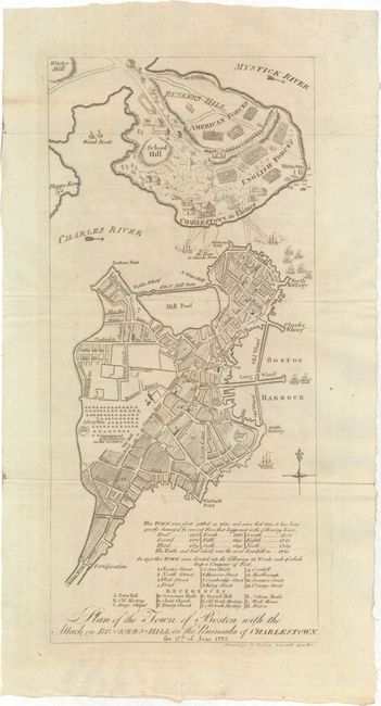
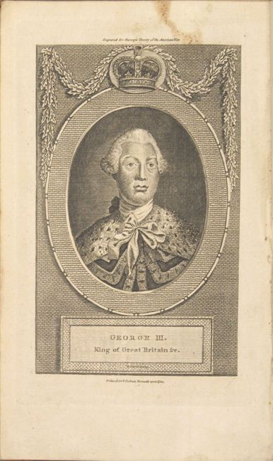
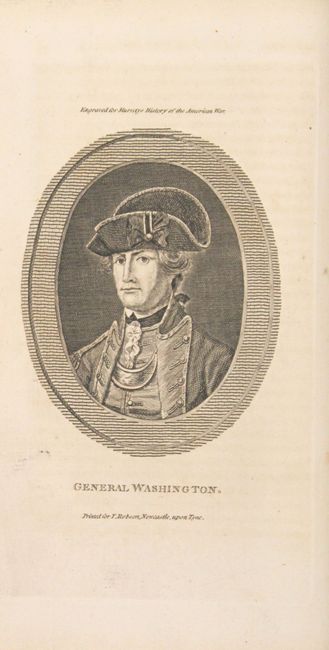
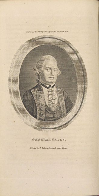
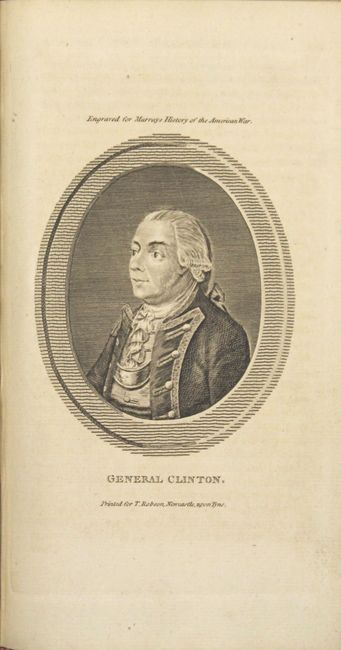
An important and uncommon contemporary history of the American Revolution, notable for the 22 portraits of key figures including George Washington, General Sullivan, General Gates, and Admiral Keppel to name a few. Also includes a very detailed plan of Boston which was derived from an inset in Sayer and Bennett's landmark Revolutionary War map, The Seat of War in New England, which was published immediately following the incident in 1775. This plan shows the city of Boston with a key below. It also provides a dramatic depiction of the Battle of Bunkers Hill with the American and English forces separated by the famous rail fence. British warships in the Charles River and a battery on Cornhill are bombarding the Charlestown peninsula with Charlestown in Flames. A large encampment of Regulars is shown on the Common where the Liberty Tree is prominently marked. 2 volumes (573 pp. and 576 pp.) with 22 portraits and folding map. Hardbound in full leather with gilt title and raised bands on spines.
References: Howes #M916; Nebenzahl (Biblio) #30; cf. Wheat & Brun #241.
Condition: A
Condition code is for the map, plates and text which are in excellent condition. A few of the text pages have some ink notations in the blank margins. Front hinges are starting, spines have a few cracks, and the covers have typical wear and abrasions.