Subject: San Francisco, California
Period: 1855 (published)
Publication:
Color: Black & White
Size:
19 x 15 inches
48.3 x 38.1 cm
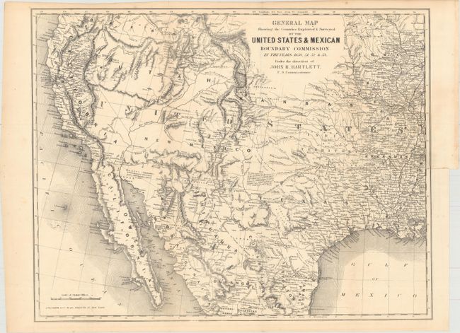
Important foldout map bound into The Annals of San Francisco; Containing a Summary of the History of the First Discovery, Settlement, Progress & Present Condition of California, and a Complete History of All Important Events Connected With Its Great City.... The map covers the entire West from the Mississippi River with particular emphasis on the land recently obtained from Mexico and is filled with place names, numerous Indian villages and geographical notations. Wheat notes this is, all in all, an excellent map of the West that has a very early depiction of the Gadsden Purchase. It is one of the first commercial maps to show Jackson Lake east of the three Tetons, here named Sublettes L. The geography of the unnamed Great Basin follows closely the cartography of Fremont's maps of 1845 and 1848. Utah is in its largest configuration stretching between California and east beyond the Continental Divide to Kansas. Place names include Mormon Sett. in Utah, Franklin opposite of El Paso, and numerous New Mexican settlements. The routes of numerous explorers are identified. The map extends to include all of the Baja. Map published by J.H. Colton & Co.
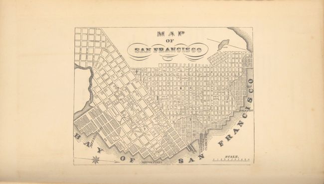
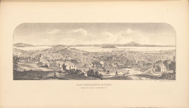
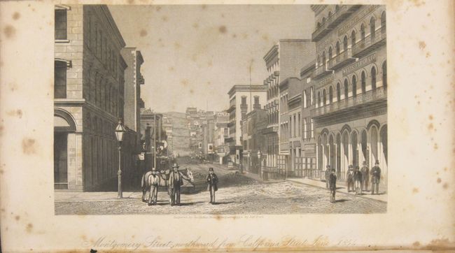
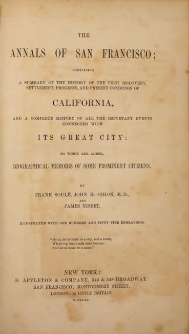
The book has 824 pages, six engraved plates including two views of San Francisco, numerous illustrations and two maps, the one previously mentioned, and a single-page map of San Francisco. Frank Soule, John H. Gihon and James Nisbet, D. Appleton and Co., New York, San Francisco and London. All edges gilt (T.E.G.). Hardbound in black leather with gilt title on spine. 8vo. (6 x 9").
References: Wheat (TMW) #798; Wagner-Camp #234:1; Howes S769.
Condition: B+
Large folding map is very good with a 2.5" binding tear closed on verso with tape. There is foxing to the frontispiece and title page, but text and plates are otherwise very good. There is some minor cracking along the spine but the covers show very little wear.