Catalog Archive
Auction 152, Lot 187

"General Chart of Alaska", U.S. Coast & Geodetic Survey
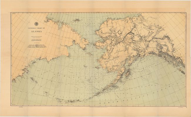
Subject: Alaska

Period: 1897 (dated)

Publication:

Color: Printed Color

Size:
25.1 x 13.7 inches
63.8 x 34.8 cm
Download High Resolution Image
(or just click on image to launch the Zoom viewer)

Very detailed chart with particular emphasis on the coast and Aleutian Islands including hundreds of soundings. There is good detail of the interior, considering the date of the map, with forts and numerous Indian villages identified. The Klondike Region is depicted along the Alaskan/Canadian border, where gold was first discovered the previous year. The map also includes a large section of the Russian coastline. This is an updated, smaller version of the map that was first produced in 1890.

References:

Condition: A

A crisp example, issued folding, on watermarked paper with faint toning.

Estimate: $120 - $150

Unsold

Closed on 2/18/2015

Archived