Subject: Exploration and Surveys
Period: 1854 (published)
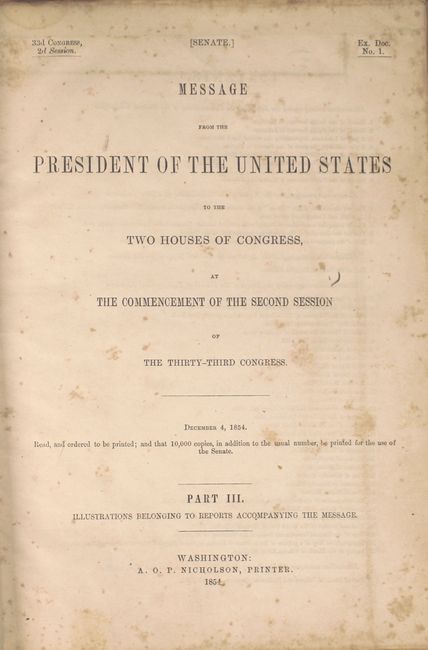
Publication: Sen Ex Doc No. 1, 33rd Cong, 2nd Sess.
Color: Black & White
Size:
9 x 12 inches
22.9 x 30.5 cm
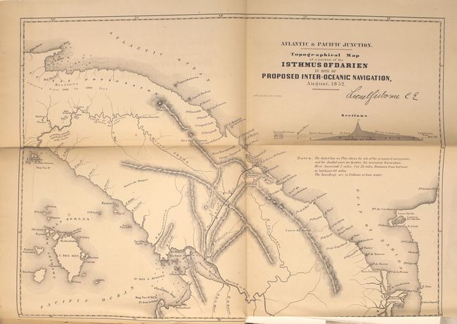
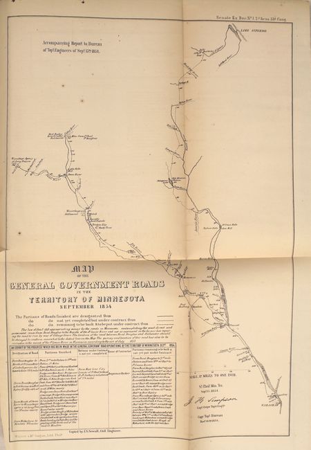
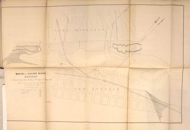
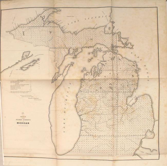
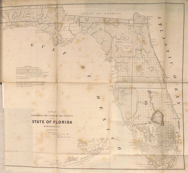
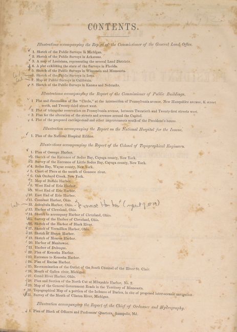
This is the volume of illustrations accompanying the reports submitted for the 2nd session of the 33rd Congress. The 42 illustrations include 6 of 8 state survey maps (missing Iowa and California) to accompany the Report of the Commissioner of the General Land Office, 4 plans to accompany the Report of the Commissioner of the Public Buildings, 1 plan to accompany the Report on the National Hospital for the Insane and 30 of 31 plans and charts of bays and harbors to accompany the Report of the Colonel of Topographical Engineers (missing Ashtabula Harbor, Ohio). Of particular interest are the Topographical Map of a Portion of the Isthmus of Darien, in site of Proposed Inter-Oceanic Navigation and Plat Exhibiting the State of Surveys in Florida. See images for the full listing of maps. Hardbound in original embossed cloth boards with gilt titles on front cover and spine.
References:
Condition: B
Maps are generally good to very good with light toning, scattered foxing and occasional faint offsetting which is more prevalent in the first quarter of the report. The map of Kansas/Nebraska and the Harbor of Black River have long fold separations. Covers are lightly rubbed with a chip at the top of the spine, and the back cover is partially detached.